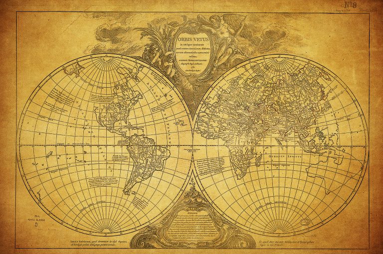
If you’re a history buff or a research enthusiast, accessing historical maps can open a fascinating window into the past. From ancient trade routes to evolving city layouts, these maps tell stories that enrich our understanding of geography and culture. Discovering the best map archives will help you dive deeper into these visual narratives and uncover hidden gems.
Best Map Archives For Accessing Historical Maps
You can explore numerous map archives that house rich collections of historical maps. These archives provide essential resources for understanding geographical changes over time. Here are some of the best options:
- Library of Congress:
- It offers a vast collection of digital maps dating back to the 16th century.
- You can access high-resolution images and detailed metadata for thorough research.
- David Rumsey Map Collection:
- This archive specializes in rare 18th and 19th-century maps.
- Tools like interactive map overlays allow you to compare past and present landscapes.
- National Archives:
- The National Archives holds several historical maps associated with government records.
- You can find maps related to military campaigns and land surveys among their collections.
- Old Maps Online:
- This resource aggregates historical maps from various institutions.
- You can search by geographic area, making it easy to find maps relevant to your research needs.
- Europeana:
- It includes thousands of historical maps from European institutions.
- You can filter results by time period and country to uncover specific historical contexts.
These archives not only preserve our mapping heritage but also serve as vital tools for research and education.
Understanding Historical Maps
Understanding historical maps is crucial for anyone delving into the past. These graphical representations convey significant insights about geography, culture, and societal structures from different time periods.
Hey hey! Don’t forget to subscribe to get our best content 🙂
Definition of Historical Maps
Historical maps are graphical depictions of geographical areas from specific time frames, crafted using original surveys and exploration data. They illustrate features like political boundaries, settlement patterns, and cultural landmarks, providing a window into the worldview of past societies. You’ll find that these maps often reveal how people understood and interacted with their environment, making them valuable tools for both research and education.
Importance of Accessing Historical Maps
Accessing historical maps is essential for grasping the complexities of historical geography. You can understand the evolution of political boundaries, trade routes, and settlement patterns through these visual narratives. Furthermore, historical maps reflect the socio-political climate of their times, helping you appreciate cultural transformations over the years. They serve as key resources for researchers, students, and educators alike, enriching their understanding of historical context and geographical significance.
Top 10 Best Map Archives For Accessing Historical Maps
As a mapmaker, you often face the challenge of conveying complex spatial information in a clear and engaging manner. Whether you’re mapping demographic data, historical routes, or environmental changes, the effectiveness of your map depends greatly on the tools and techniques you employ.
Establishing Technical Context
Understanding the foundational aspects of mapping, including coordinate systems, projections, and data types, is essential. Familiarize yourself with industry standards like the International Organization for Standardization (ISO) specifications, which guide accurate data representation. Knowing when to use vector versus raster data will impact both the clarity and usability of your maps.
Key Methods to Enhance Your Mapping
- GIS Software Utilization: Use tools like ArcGIS and QGIS for robust analysis and visualization. These platforms allow you to manipulate spatial data efficiently and generate output that meets professional standards.
- Symbology and Labels: Simplify complex datasets with clear legends and consistent symbology. Adjust font sizes and colors for readability; consider using Mapbox or Carto for advanced design capabilities.
- Interactive Elements: Leverage WebMap to create online interactive maps which enhance user engagement. This can make your data more accessible and understandable for a wider audience.
Addressing Technical Issues
Common technical issues can arise, such as discrepancies in data accuracy or difficulties in data integration from multiple sources. Ensure that you:
- Verify Source Credibility: Always prioritize reputable data sources like USGS or National Oceanic and Atmospheric Administration (NOAA) to mitigate experienced data inconsistencies.
- Check Coordinate Systems: Misalignment in projections can lead to significant mapping errors. Always standardize your data before analysis.
Exploring Data Visualization Options
Effective data visualization is critical for conveying your message. Integrate various visualization techniques to enhance interpretability:
- Heat Maps: Use tools like Tableau to identify trends in data density.
- Choropleth Maps: Employ this technique in ArcGIS for regional data comparisons, enhancing understanding of spatial dynamics.
Streamlining Your Workflow
Establishing a structured workflow can improve your mapping efficiency:
- Data Acquisition: Gather reliable data, assess needs, and choose appropriate formats.
- Data Processing: Clean and preprocess data using software like Excel or Python scripts for automation.
- Mapping Design: Finalize designs in software like Adobe Illustrator for refined visual aesthetics.
Quality Control Tips
Ensure the quality of your maps through rigorous testing and validation:
- Peer Reviews: Engage colleagues for feedback to identify potential oversights.
- Field Verification: Whenever possible, verify spatial data accuracy with on-site checks.
By implementing well-structured workflows, utilizing effective mapping techniques, and adhering to quality control measures, you can create professional maps that effectively communicate spatial information and engage your audience.
Tips For Navigating Map Archives
Navigating map archives can be daunting, but knowing some key strategies can streamline your search and enhance your experience.
Utilizing Search Tools Effectively
Utilize search tools by applying specific keywords related to your topic of interest. Most archives offer filters, allowing you to narrow searches by date, type, or geographical area. For instance, at the Library of Congress, use phrases like “Civil War maps” to zero in on relevant materials. Don’t forget to check for advanced search options that let you combine terms for more targeted results.
Understanding Map Scales and Projections
Understand map scales and projections to interpret the spatial data accurately. Scales, expressed as ratios (e.g., 1:50,000), indicate the relationship between distance on the map and real-world distance. Familiarize yourself with common projections, such as the Mercator or Robinson projection, as they can distort shapes and areas differently. Using software like ArcGIS, you can visualize how different projections impact map accuracy.
Exploring Related Resources and Collections
Explore related resources and collections to gain broader insights. Look for companion documents, guides, or essays linked to the maps. For example, the Perry-Castañeda Library Map Collection often includes historical context that enhances understanding. Additionally, check linked collections within the archive—other institutions might house complementary materials that enrich your research scope.
Conclusion
Exploring historical maps opens a window to the past that enriches your understanding of geography and culture. The archives mentioned provide invaluable resources that not only preserve mapping heritage but also enhance your research and educational pursuits. By utilizing these archives effectively you can uncover unique insights into historical trade routes political boundaries and cultural landmarks.
Embrace the opportunity to delve into these visual narratives and let them guide your exploration of history. With the right tools and strategies you can navigate these archives confidently and uncover the hidden treasures that await. Your journey through time starts with a single map.

