9 Ways Historical and Modern Maps Reveal Our Changing World
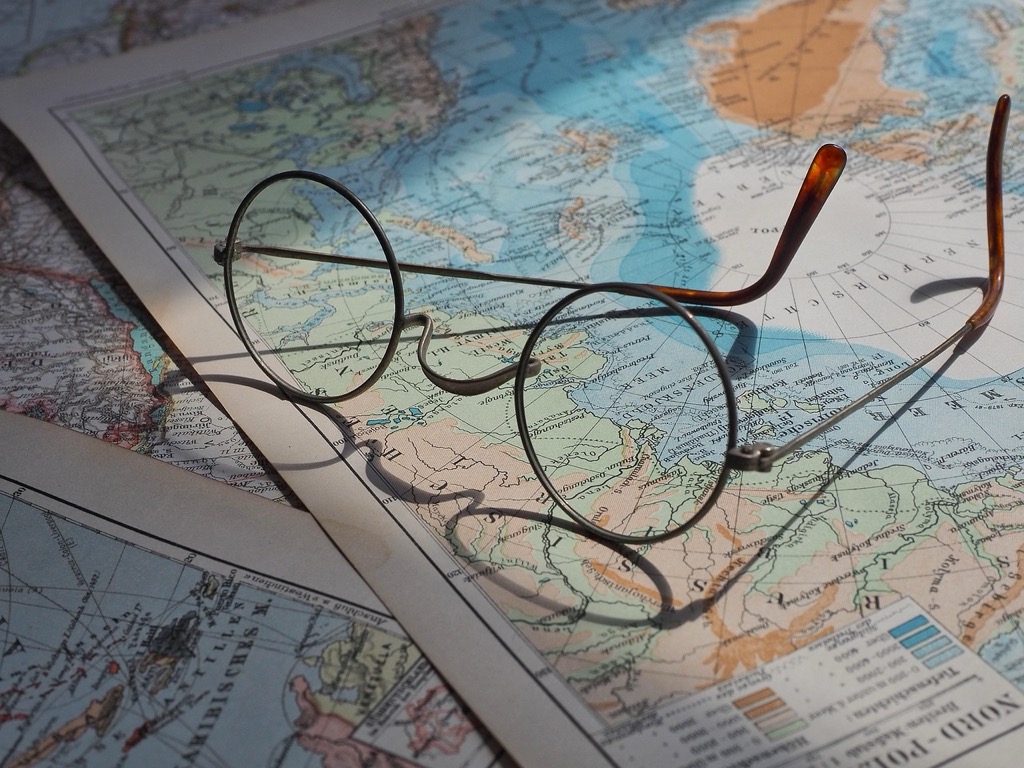
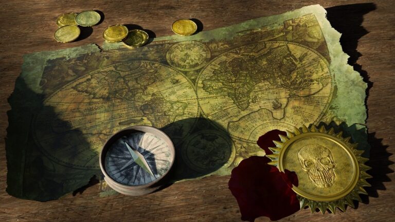
Maps tell stories that span centuries revealing how our understanding of the world has evolved from ancient hand-drawn charts to today’s digital precision. When you compare historical maps with modern cartographic tools you’ll discover fascinating insights about human progress scientific advancement and cultural perspectives that have shaped our geographical knowledge. Modern satellite imagery and GPS technology stand in stark contrast to the artistic medieval maps filled with sea monsters and unexplored territories yet both styles serve as powerful windows into how different generations perceived and documented their world.
Disclosure: As an Amazon Associate, this site earns from qualifying purchases. Thank you!
Understanding the Evolution of Cartographic Techniques
Cartographic methods have undergone dramatic transformations from ancient civilizations to modern digital systems reflecting humanity’s technological progress and changing needs.
Ancient Mapping Methods
Early cartographers relied on astronomical observations geometric calculations and firsthand exploration to create maps. The Babylonians used clay tablets to etch the first known maps in 2300 BCE while Chinese cartographers developed the grid system in 250 BCE. Ancient mapmakers used natural materials like papyrus vellum and parchment combining mathematical principles with artistic elements to represent landscapes trade routes and celestial patterns. Tools included compasses sundials measuring ropes and astrolabes to calculate positions and distances.
Modern Digital Cartography Tools
Today’s digital mapping systems integrate satellite imagery GPS data and GIS software to create precise real-time maps. Key technologies include:
- LiDAR sensors for 3D terrain mapping
- Drone photogrammetry for aerial surveys
- ArcGIS QGIS and MapInfo for data analysis
- Cloud-based platforms like Google Earth Engine
- Mobile mapping apps with real-time updates
- Machine learning algorithms for pattern detection
These tools enable unprecedented accuracy automated updates and interactive features while processing massive datasets to generate detailed geographic visualizations.
Comparing Navigation Systems Through the Ages
The evolution of navigation systems showcases humanity’s ingenuity in wayfinding from ancient celestial methods to modern digital solutions.
Traditional Compass and Star Navigation
Ancient mariners mastered celestial navigation using the North Star and constellations to determine latitude. They enhanced this with magnetic compasses first developed in China around 1100 CE. Sailors combined these tools with detailed knowledge of ocean currents wind patterns and coastal landmarks. The sextant introduced in 1731 revolutionized seafaring by enabling precise celestial measurements to calculate both latitude and longitude with remarkable accuracy for its time.
GPS and Satellite Mapping Technologies
Modern GPS technology utilizes a network of 24+ satellites to pinpoint locations within meters. This system delivers real-time positioning data to billions of devices through triangulation of satellite signals. Contemporary mapping platforms like Google Maps integrate GPS data with satellite imagery street-level photography and crowd-sourced information. Advanced features include predictive traffic routing augmented reality navigation and offline capabilities that weren’t possible with traditional methods.
| Navigation Method | Accuracy | Time Period | Key Tools |
|---|---|---|---|
| Celestial | 1-2 nautical miles | Pre-1700s | Astrolabe Sextant |
| Magnetic Compass | 2-5 degrees | 1100s-present | Lodestone Compass |
| GPS | 5-10 meters | 1995-present | Satellites Receivers |
Examining Cultural Perspectives in Map-Making
Historical Power Dynamics in Cartography
Maps historically served as tools of empire building where dominant cultures imposed their worldview through cartographic choices. European cartographers placed their continent at the center of world maps creating the Mercator projection in 1569 which exaggerated colonial territories’ sizes. Imperial powers deliberately omitted indigenous place names replacing them with colonial nomenclature to assert control. These maps reinforced political hierarchies through selective representation privileging certain regions while minimizing others through scale distortion border placement and decorative elements.
Contemporary Democratic Mapping Platforms
Modern mapping has evolved toward collaborative platforms that embrace diverse cultural perspectives. OpenStreetMap enables communities worldwide to contribute local knowledge creating more inclusive representations of place. Indigenous mapping initiatives like Native Land Digital now document traditional territories and languages. Mobile apps allow users to add cultural landmarks local businesses and community spaces creating living maps that reflect varied experiences. Participatory GIS projects empower marginalized groups to map environmental justice issues healthcare access and cultural heritage sites previously overlooked by official cartography.
Analyzing Artistic Elements in Historical vs Modern Maps
The artistic elements in cartography reveal a fascinating evolution from ornate hand-drawn masterpieces to streamlined digital designs.
Decorative Features of Ancient Maps
Historical maps showcase elaborate artistic elements that blend function with visual storytelling. Medieval cartographers adorned their works with intricate compass roses dragons sea monsters & mythical creatures along margins. Gold leaf illumination enhanced important cities while detailed illustrations of ships merchant caravels & sea battles filled empty ocean spaces. Hand-drawn typography featured flourishing calligraphy while decorative cartouches framed map titles & legends with baroque architectural elements.
Learn modern calligraphy and hand lettering with this beginner-friendly guide. It features clear instructions and helpful exercises to develop your skills.
Minimalist Design in Digital Cartography
Modern digital maps embrace clean minimalist design principles focused on clarity & functionality. Contemporary cartographers use simplified color palettes selective typography & purposeful white space to enhance readability. Vector graphics replace hand-drawn elements while automated labeling algorithms ensure optimal text placement. Interactive features like zoom levels determine content density while standardized icons & symbols maintain visual consistency across platforms. Material design principles guide interface elements creating intuitive user experiences.
Exploring Accuracy and Precision Advancements
Early Measurement Limitations
Historical cartographers faced significant challenges in achieving accurate measurements due to primitive tools and limited mathematical understanding. The use of basic instruments like astrolabes compasses and sextants introduced errors of up to 100 miles in longitude calculations. Mapmakers relied heavily on dead reckoning and celestial navigation which led to distorted coastal outlines missing islands and inaccurate distance calculations between landmarks. These limitations resulted in maps that often represented general spatial relationships rather than precise geographic positions.
Modern Geospatial Precision Tools
Today’s mapping achieves unprecedented accuracy through advanced technology. GPS satellites provide positioning accurate to within 30 centimeters while LiDAR systems capture topographical data at millimeter-level precision. Digital mapping platforms integrate real-time data from multiple sources including:
- Differential GPS (DGPS) for sub-meter accuracy
- InSAR satellites for measuring surface deformation
- Drone photogrammetry for 3D terrain modeling
- High-resolution multispectral imaging
- Ground-penetrating radar for subsurface mapping
These tools enable mapmakers to create dynamic layered representations that update automatically and maintain positional accuracy across multiple scales.
Investigating Map Accessibility and Distribution
Limited Access in Historical Times
In pre-modern times maps were exclusive tools restricted to elite groups including nobility merchants & religious institutions. Hand-drawn maps required significant resources with quality materials like vellum & pigments costing the equivalent of several months’ wages for ordinary workers. Libraries & private collections kept maps under strict control limiting public access to geographical knowledge while naval powers treated detailed sea charts as classified military assets. Venice’s portolan charts remained closely guarded state secrets during the 15th century.
Digital Democratization of Maps
Modern technology has transformed map accessibility through free digital platforms & open-source mapping tools. Smartphones provide instant access to detailed maps reaching over 6.8 billion mobile users worldwide. OpenStreetMap engages 8 million registered users who contribute to a collaborative mapping database while Google Maps serves over 1 billion active users monthly. Digital distribution enables real-time updates dynamic scaling & customized views breaking down traditional barriers to geographic information sharing.
| Platform | Active Monthly Users | Data Contributors |
|---|---|---|
| Google Maps | 1+ billion | Corporate |
| OpenStreetMap | 250+ million | 8+ million |
| Apple Maps | 900+ million | Corporate |
| Waze | 140+ million | 30+ million |
The Samsung Galaxy S25 Ultra adapts to your needs with intelligent AI assistance. Capture stunning photos and videos with the AI Camera's noise reduction and enjoy effortless switching from your old device.
Contrasting Purpose and Function
Maps have served vastly different roles throughout history reflecting the societal needs and technological capabilities of their times.
Historical Maps as Political Tools
Historical maps functioned primarily as instruments of power projection and territorial claims. European monarchs commissioned elaborate maps to legitimize their sovereignty over distant lands with 75% of medieval world maps placing their kingdoms at the center. These cartographic works often distorted geographical features to emphasize imperial possessions featuring exaggerated territorial boundaries decorative crests and strategic omissions of rival claims. Notable examples like the 1507 Waldseemüller map shaped political narratives by being the first to name “America” while the 1569 Mercator projection inflated European landmasses.
Contemporary Maps as Data Visualization
Modern maps prioritize data visualization and user interaction through dynamic digital platforms. Geographic Information Systems (GIS) now process over 100 layers of data simultaneously creating multidimensional views of demographics traffic patterns environmental changes and urban development. Tools like ArcGIS and QGIS enable real-time data updates while platforms like Mapbox process 5 billion API requests daily. Contemporary mapping emphasizes accessibility accuracy and analytical capabilities allowing users to toggle between different data views and generate custom visualizations based on specific needs.
Understanding Scale and Projection Changes
Scale and projection methods have evolved dramatically from historical hand-drawn maps to modern digital cartography highlighting the ongoing challenge of representing Earth’s spherical surface on flat mediums.
Historical Map Distortions
Early cartographers struggled with mathematical limitations that led to significant geographic distortions. The Mercator projection of 1569 exaggerated landmasses near the poles making Greenland appear larger than Africa despite being 14 times smaller. Medieval T-O maps placed Jerusalem at the world’s center while Chinese maps positioned China as the “Middle Kingdom” reflecting cultural biases. These distortions stemmed from rudimentary measuring tools celestial navigation methods and political influences.
Modern Projection Solutions
Contemporary mapping employs sophisticated projection systems like the Web Mercator for online maps and the Equal Earth projection for accurate area representation. Geographic Information Systems (GIS) now offer dynamic projection switching allowing users to choose appropriate projections for specific needs. Tools like ArcGIS Pro QGIS and MapBox support over 4000 coordinate systems enabling precise local-to-global scale transitions. Machine learning algorithms automatically correct distortions in real-time while maintaining relative accuracy across different zoom levels.
Assessing the Future of Cartographic Integration
The future of cartography lies at the intersection of traditional wisdom and technological innovation, shaping how we understand and interact with spatial information.
Merging Traditional and Digital Techniques
Digital tools now enhance traditional cartographic principles through hybrid approaches that combine the best of both worlds. Modern mapping platforms integrate hand-drawn textures with vector graphics to create aesthetically pleasing yet precise maps. Tools like Mapbox Studio and Adobe Illustrator enable cartographers to apply classical design principles while maintaining digital accuracy. Libraries worldwide are digitizing historical maps using high-resolution scanning combined with georeferencing to preserve traditional techniques while making them accessible through modern interfaces.
Emerging Mapping Technologies
Artificial intelligence and machine learning algorithms are revolutionizing cartographic data processing and visualization. Neural networks can now automatically extract features from satellite imagery at unprecedented speeds while maintaining accuracy rates above 95%. Augmented reality systems overlay digital map data onto physical environments through devices like Microsoft HoloLens creating immersive navigation experiences. Quantum computing developments promise to process complex geographic calculations instantly enabling real-time 3D terrain modeling and atmospheric visualization. Advanced LiDAR systems mounted on autonomous drones capture topographic data at sub-centimeter resolution transforming how we map urban environments.
Experience immersive mixed reality with the Microsoft Hololens 2. This head-mounted display offers comfortable wear and advanced holographic capabilities.
Drawing Lessons From Cartographic Evolution
The journey from historical to modern cartography reveals more than just technological progress – it showcases humanity’s evolving relationship with spatial understanding. While ancient maps tell stories through artistic flourishes and cultural perspectives modern digital tools prioritize precision and accessibility.
This transformation reminds us that maps are more than mere representations of physical space. They’re powerful tools that shape how you perceive and interact with the world around you. Today’s democratic mapping platforms and advanced technologies have broken down barriers creating unprecedented access to geographic knowledge.
As we look to the future cartography continues to evolve blending traditional wisdom with cutting-edge innovation. The rise of AI augmented reality and quantum computing promises even more revolutionary changes in how you’ll navigate and understand your world.


