9 Experimental Cartography Techniques Artists Use to Create Visual Impact
Exploring experimental cartography opens up a fascinating world where art and mapmaking collide to create unique visual narratives. Whether you’re a seasoned artist or just beginning your creative journey you’ll discover how unconventional mapping techniques can transform your artistic practice.
By breaking free from traditional cartographic rules you’ll learn to blend mixed media abstract concepts and personal interpretations to craft maps that tell compelling stories while pushing creative boundaries. These innovative approaches will help you develop a distinctive artistic voice while reimagining how we represent and interpret geographic spaces through art.
Disclosure: As an Amazon Associate, this site earns from qualifying purchases. Thank you!
Understanding The Fusion Of Art And Cartography
The intersection of cartography and artistic expression creates unique opportunities for visual storytelling through maps.
Traditional Map-Making vs Artistic Expression
Traditional cartography adheres to strict geographic accuracy scientific principles spatial relationships. Artists approach mapping with creative freedom embracing abstraction personal interpretation emotional resonance. While conventional maps focus on precise scale coordinates topography artistic maps transform geographic data into expressive visual narratives. This fusion allows creators to bend cartographic rules by incorporating color theory mixed media techniques alternative projections stylized symbols.
The Rise Of Experimental Cartography
Experimental cartography emerged in the 1960s when artists began challenging traditional mapping conventions. Digital tools GIS technology creative software now enable artists to blend data visualization with artistic elements. Modern experimental cartographers use techniques like:
- Data-driven abstractification
- Mixed media layering
- Emotional mapping
- Cultural storytelling
- Alternative projection systems
- Personal geography interpretation
This movement has gained momentum through social media digital art platforms collaborative mapping projects that showcase innovative approaches to spatial representation.
Exploring Mixed Media Mapping Techniques
Mixed media mapping combines traditional art materials with cartographic principles to create unique spatial representations that transcend conventional map boundaries.
Collage And Paper Manipulation Methods
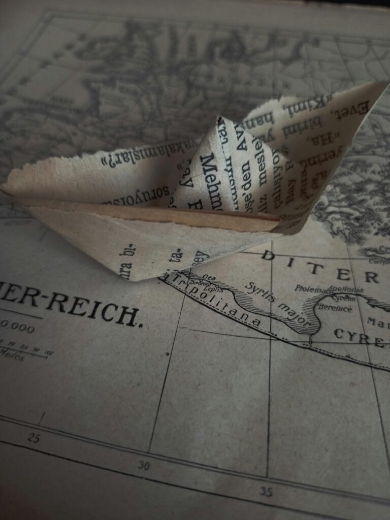
Transform maps into dynamic artworks using layered paper techniques. Start with a base map then build depth through torn maps vintage atlases and textured papers. Create topographical effects by scoring folding or cutting paper at different elevations. Add visual interest with washi tape vellum overlays and hand-drawn elements. Experiment with burning edges weathering techniques or tea staining to age your materials authentically.
Textile And Fiber-Based Map Creation
Incorporate fabric elements to add tactile dimension to your cartographic art. Stitch contour lines with embroidery floss using different textural stitches to represent terrain variations. Layer felt wool or silk pieces to demonstrate elevation changes. Apply quilting techniques to define political boundaries or geographic regions. Use fabric paint screen printing or batik methods to add color and pattern to your textile maps.
Digital-Analog Hybrid Approaches
Blend digital mapping tools with hands-on artistic techniques. Print digital map layers on transparent materials then combine with hand-painted backgrounds. Use laser cutters to create precise stencils for mixed media applications. Project digital maps onto physical surfaces to trace and enhance with traditional media. Incorporate AR markers into handmade maps to add interactive digital elements when viewed through mobile devices.
Incorporating Alternative Data Visualization Methods
Alternative data visualization methods expand the boundaries of traditional cartography by incorporating sensory elements and emotional dimensions into map creation.
Sound And Sensory Mapping
Transform geographic data into multi-sensory experiences by mapping sound frequencies acoustic patterns and vibrations. Create tactile maps using textured materials like embossed paper raised relief surfaces and variable density patterns. Incorporate sound recordings of location-specific ambient noise or music to add auditory layers to your maps. Use tools like MaxMSP or TouchDesigner to convert geographic data into sonic landscapes that respond to spatial relationships.
Emotional Geography Techniques
Map emotional responses to places using color gradients intensity mapping and personal experience indicators. Create layers that represent different emotional states using varied line weights symbols and patterns. Plot emotional data points collected through surveys social media sentiment analysis or personal journals. Develop custom symbols to represent specific feelings memories or psychological responses to locations using digital illustration tools or hand-drawn elements.
Time-Based Cartographic Expression
Design dynamic maps that reveal temporal patterns and changes across different timeframes. Use animation tools to show historical developments urban growth patterns or ecological changes. Create sequence maps with transparent overlays to demonstrate transformation over time. Incorporate interactive timeline sliders that allow viewers to explore different temporal states of the same geographic area using tools like QGIS TimeManager or Mapbox animations.
Experimenting With Unconventional Materials
Break free from traditional mapping materials by incorporating unexpected elements into your cartographic creations. These innovative approaches add depth texture and meaning to your artistic maps.
Natural Elements And Organic Materials
Transform your maps using materials from nature to create organic cartographic art. Press leaves flowers and bark between transparent layers to represent terrain features or land coverage. Create topographic textures using sand soil and pebbles fixed with natural adhesives. Incorporate pressed seaweed and shells for coastal maps or use pine needles to represent forest density. These biodegradable elements add environmental context while creating unique textural experiences.
Found Objects And Recycled Components
Repurpose everyday items to build dimensional map features with cultural significance. Use bottle caps for city markers circuit boards for industrial zones and fabric scraps for agricultural areas. Transform old keys into road networks watch parts into compass roses and broken jewelry into landmark indicators. Mount these objects on sturdy backing materials then seal with clear resin to create durable mixed-media cartographic assemblages.
Light And Shadow Mapping
Create dynamic cartographic installations using light projection and shadow play. Project map data onto textured surfaces using LED lights to highlight specific regions. Build 3D relief maps with translucent materials that interact with backlighting to show elevation changes. Use photosensitive papers to capture shadow patterns of 3D terrain models creating unique topographic prints. Experiment with moving lights to demonstrate temporal data like population movement or weather patterns.
Developing Personal Cartographic Languages
Creating your unique cartographic language allows you to express geographic information through distinctive visual elements that reflect your artistic vision.
Symbol Creation And Visual Vocabulary
Develop your symbol system by sketching at least 20 unique markers that represent geographic features like water bodies mountains or urban areas. Start with basic geometric shapes then add personal flourishes such as hand-drawn textures organic lines or cultural motifs. Transform conventional map symbols into artistic interpretations – replace standard tree icons with abstract nature-inspired designs or reimagine building footprints as emotional representations of space. Test your symbols in different scales and contexts to ensure they maintain visual clarity.
Pattern-Based Mapping Systems
Design repeatable patterns that convey specific geographic information through texture density and rhythm. Create custom textures for different land types using techniques like stippling crosshatching or fluid marks. Layer these patterns using transparent overlays to show data intensity or geographic relationships. Experiment with pattern scale to indicate elevation changes – tighter patterns for higher elevations looser ones for valleys. Consider using color variations within your patterns to add depth to your map’s visual hierarchy.
Cultural And Personal Narrative Integration
Weave personal stories and cultural elements into your maps through symbolic representations and narrative devices. Add memory markers to locations using specialized icons that represent significant events or experiences. Incorporate cultural symbols traditional patterns or historical references that connect to the mapped region’s heritage. Create legend systems that explain both geographic and narrative elements allowing viewers to understand both the physical space and its cultural significance.
Merging Digital Tools With Artistic Practice
Digital technology offers powerful ways to enhance traditional artistic mapping techniques while maintaining creative authenticity. Here’s how to leverage modern tools effectively in your experimental cartography practice.
3D Mapping Software For Artists
Transform your cartographic art using dedicated 3D mapping tools like Blender GIS QGIS2threejs or CityEngine. These platforms let you create elevation models texture landscapes and build immersive terrain visualizations. Import real topographic data to generate accurate 3D base maps then apply artistic filters custom textures and dynamic lighting effects. Use tools like displacement mapping to exaggerate terrain features or create abstract landforms based on emotional data.
GPS Drawing And Movement Tracking
Create unique map art by recording your movements through space using GPS tracking apps like Strava Art or MyTracks. Design deliberate paths that form images symbols or patterns when viewed from above. Convert tracked routes into vector paths for further artistic manipulation in design software. Experiment with different movement speeds varying line weights and color gradients to represent temporal data or emotional intensity during your journey.
Augmented Reality Map Layers
Integrate AR technology into your cartographic artwork using platforms like ARCore or Vuforia. Create interactive map installations where viewers can reveal hidden layers stories and data through their mobile devices. Design trigger images that activate 3D map elements floating data visualizations or animated geographic features. Use AR to blend physical map artifacts with digital content adding depth and interactivity to traditional cartographic presentations.
Creating Interactive Map Experiences
Transform static maps into dynamic experiences that invite viewer participation and physical engagement through innovative interaction techniques.
Tactile And Participatory Mapping
Create multi-sensory map experiences using textured materials like sandpaper for rough terrain embossed paper for elevation changes and raised elements for urban features. Incorporate movable pieces such as magnetic markers or velcro attachments that let viewers customize their exploration. Design modular map components that allow participants to rearrange geographic elements creating their own spatial narratives through touch and manipulation.
Installation-Based Cartography
Design large-scale map installations using projection mapping LED arrays or suspended elements to transform spaces into immersive cartographic environments. Create walkable floor maps with sensors that trigger location-specific audio or visual content when viewers step on different regions. Implement responsive lighting systems that highlight different geographic features based on viewer proximity or movement patterns through the installation space.
Performance Mapping Techniques
Choreograph map-based performances where participants’ movements create real-time data visualizations through motion capture technology. Use body mapping techniques to transform human movement into geographic patterns projected onto surfaces or screens. Incorporate wearable sensors that generate location-based data streams allowing performers to paint digital maps through dance or structured movement sequences.
Pushing Boundaries With Abstract Cartography
Conceptual Mapping Approaches
Transform geographic data into conceptual art by mapping intangible elements like ideas memories or emotions. Create abstract representations using geometric shapes color fields and symbolic patterns to convey spatial relationships. Try mapping thought processes using connecting lines between concept clusters or represent population density through varying degrees of transparency and overlap. Experiment with deconstructing traditional map elements like scale bars and legends into artistic interpretations that challenge conventional cartographic rules.
Psychological Geography Methods
Map the psychological impact of spaces through color psychology and abstract symbolism. Use warm colors to indicate comfort zones cool tones for areas of anxiety and gradient transitions to show emotional boundaries. Incorporate contour lines based on stress levels or floating elements to represent dreams and aspirations tied to specific locations. Create mental distance maps where space is distorted according to perceived psychological proximity rather than physical distance.
Non-Linear Spatial Representation
Break free from traditional grid systems by developing radial circular or spiral map layouts. Experiment with folded space concepts where map elements cascade or spiral into each other creating multi-dimensional perspectives. Try mapping locations based on their relationships rather than cardinal directions using connection webs or nested circles. Incorporate temporal elements through overlapping transparent layers that show how spaces transform through different emotional or conceptual filters.
Conclusion: Advancing The Future Of Artistic Mapping
The fusion of experimental cartography and artistic expression opens up endless possibilities for your creative journey. By breaking free from traditional mapping constraints you’ll discover unique ways to represent space emotion and personal narratives in your artwork.
Whether you’re working with mixed media digital tools or innovative materials these experimental techniques will help you develop your distinctive cartographic voice. The future of artistic mapping lies in your willingness to push boundaries blend disciplines and create immersive experiences that challenge conventional perspectives.
Take these tools and techniques as your starting point and let your creativity guide you toward new cartographic frontiers. You’ll find that experimental mapping isn’t just about representing physical space – it’s about crafting visual stories that resonate with viewers on multiple levels.
