9 Art and Cartography Intersections That Revolutionize Map Design
Maps aren’t just tools for navigation – they’re powerful artistic expressions that blend creativity with geographical precision. When you explore the fascinating intersection of art and cartography you’ll discover how mapmakers throughout history have transformed technical data into stunning visual narratives. From medieval illuminated manuscripts to modern digital cartography these artistic maps tell stories about culture exploration and human perception of the world around us.
Artists and cartographers continue to push boundaries by creating innovative ways to represent space and place through artistic interpretation. Whether it’s through abstract geographical forms intricate hand-drawn illustrations or data-driven digital designs this unique fusion celebrates both scientific accuracy and creative expression. You’ll find that this blend of art and mapping has evolved into a distinct form of creative communication that shapes how we understand and interact with our world.
Disclosure: As an Amazon Associate, this site earns from qualifying purchases. Thank you!
Understanding the Historical Bond Between Art and Map Making
The relationship between art and cartography dates back to humanity’s earliest attempts to document the world around them.
P.S. check out Udemy’s GIS, Mapping & Remote Sensing courses on sale here…
Early Decorative Maps and Illuminated Manuscripts
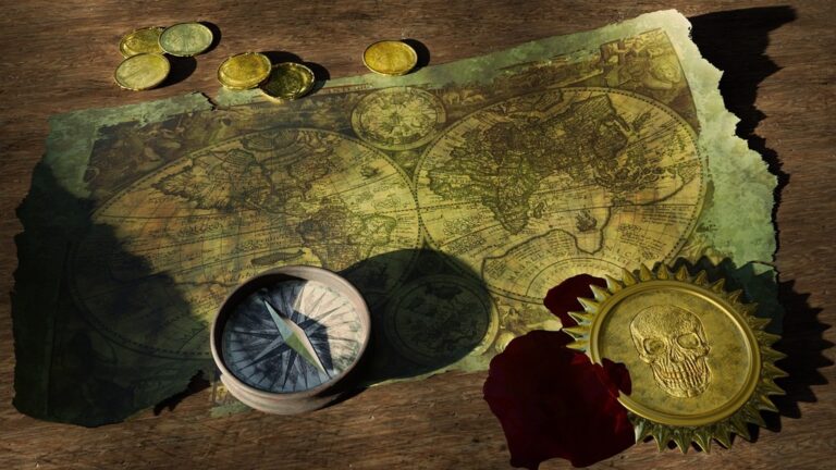
Medieval mapmakers transformed geographic information into stunning works of art through illuminated manuscripts from 500-1500 CE. These early maps featured intricate illustrations of mythological creatures sea monsters dragons and elaborate compass roses. Monastery scriptoria produced masterpieces like the Hereford Mappa Mundi which combined biblical scenes geographic details and decorative elements in rich gold leaf and vibrant pigments. The maps served dual purposes as both navigation tools and artistic expressions of medieval worldviews.
The Golden Age of Cartographic Art
The 16th and 17th centuries marked cartography’s artistic peak as Dutch and Flemish masters elevated mapmaking to fine art. Master cartographers like Gerard Mercator and Willem Blaeu created ornate atlases featuring baroque cartouches intricate border designs and detailed illustrations. Their maps showcased advanced printing techniques like copper plate engraving and hand-colored prints. Maritime powers commissioned lavishly decorated maps as symbols of exploration wealth and artistic achievement during this era of discovery and colonial expansion.
Explore Wayne Thiebaud's hand-colored prints in this used book. It offers a glimpse into the artist's vision and revision process.
Examining Artistic Elements in Traditional Cartography
Color Theory and Map Design
Color choices in traditional cartography blend functionality with artistic expression. Mapmakers historically used natural pigments like ochre ultramarine and vermillion to create distinctive visual hierarchies. These colors served dual purposes: blue represented water bodies green indicated vegetation and red highlighted important settlements or routes. Medieval cartographers developed sophisticated color palettes that balanced aesthetic appeal with practical readability creating standards that influence modern mapmaking.
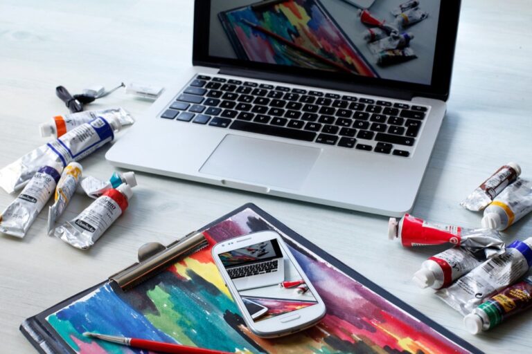
Create custom, archival paints with these 20 natural earth and mineral pigments, free from toxins and additives. Easily mix them with binders to craft oil, watercolor, and more, while enjoying their exceptional lightfastness and sustainable packaging.
Typography and Decorative Elements
Typography in historical maps combines practical legibility with artistic flair. Cartographers employed elaborate calligraphy for place names with larger ornate lettering for significant locations and smaller refined text for secondary features. Decorative elements like compass roses baroque cartouches and illuminated borders transformed maps into works of art. These embellishments weren’t merely ornamental but helped establish scale direction and authority while reflecting the artistic styles of their periods.
Learn modern calligraphy and hand lettering with this beginner-friendly guide. It features clear instructions and helpful exercises to develop your skills.
Symbolism and Visual Hierarchy
Traditional maps use carefully crafted symbols to convey complex information through visual storytelling. Mountains appear as tiny drawings cities as miniature buildings and forests as clusters of tree icons. Cartographers established hierarchical systems where larger symbols indicated greater importance while intricate details revealed local features. This symbolic language merged artistic interpretation with geographic accuracy creating an intuitive visual system that modern maps still reference today.
Discovering Modern Artists Who Transform Maps
Modern artists are reimagining cartography through innovative techniques and mediums that challenge traditional map representations while exploring themes of identity space and place.
Contemporary Map-Based Installations
Maya Lin’s “Pin River” series transforms thousands of straight pins into flowing waterways mounted on gallery walls creating dynamic three-dimensional maps that comment on environmental issues. Matthew Cusick repurposes vintage atlas pages into intricate collages forming portraits and landscapes while Nina Katchadourian’s “Map Dissection” series surgically alters existing maps to reveal new geographic relationships. These installations merge cartographic precision with artistic vision transforming flat maps into immersive experiences that engage viewers in spatial storytelling.
Experimental Cartographic Art Forms
Ed Fairburn prints portraits directly onto maps using the existing topographic lines to create facial features that emerge from street grids and contour lines. Digital artist Aaron Koblin generates data-driven map visualizations using flight patterns GPS traces and social media interactions to reveal hidden patterns of human movement. Julie Mehretu layers architectural drawings maps and abstract gestures to create dense compositions exploring urban spaces and geopolitical boundaries through expressive mark-making techniques.
Exploring Digital Innovations in Artistic Mapping
Digital technology has revolutionized the intersection of art and cartography creating new possibilities for interactive and dynamic map-based artistic expression.
Interactive Map Art Platforms
Digital platforms have transformed how artists create and share map-based artwork. ArcGIS StoryMaps enables artists to combine maps with multimedia elements creating immersive narratives. Mapbox Studio lets creators design custom map styles with real-time data visualization while CartoDB provides tools for turning geographic data into interactive art installations. These platforms integrate features like zoom-dependent styling animated data layers and customizable color palettes giving artists unprecedented control over their cartographic creations.
GPS Drawing and Digital Cartography
GPS drawing has emerged as a unique form of digital cartographic art where creators use tracking devices to “draw” patterns across landscapes. Artists like Jeremy Wood pioneer this technique creating massive-scale drawings by recording their movements through cities and natural environments. Popular apps like Strava Art enable runners and cyclists to plan routes that form pictures when tracked. Advanced tools such as Processing and TouchDesigner allow artists to transform GPS data into dynamic visualizations combining traditional cartography with motion-based digital art.
Analyzing the Role of Maps in Contemporary Art
Maps as Political Statements
Contemporary artists use maps to challenge geopolitical narratives and highlight social issues. Through cartographic manipulation artists like Guillermo Kuitca create powerful statements about borders colonialism and territorial disputes. Art collectives such as the Counter-Cartographies Collective produce alternative maps that expose power dynamics hidden infrastructure and social inequalities. Notable examples include Pedro Reyes’s “Disarm” series which transforms weapon-seizure data into geographic visualizations and Joyce Kozloff’s installations that critique military mapping conventions.
Cultural Identity Through Cartographic Art
Artists integrate cultural symbols personal histories and traditional techniques into map-based works to explore identity. Native American artist Jaune Quick-to-See Smith overlays indigenous symbolism onto conventional maps while Chinese artist Qiu Zhijie merges classical Chinese painting with contemporary mapping. Urban artists like Nikolas Schiller create kaleidoscopic aerial views that reflect neighborhood identities through street patterns. These works challenge standard cartographic representations by incorporating diverse cultural perspectives storytelling traditions and local knowledge systems.
Investigating Alternative Mapping Methods
Abstract Geographical Representations
Artists transform traditional cartographic elements into abstract visual forms through innovative techniques and unconventional mediums. Experimental cartographers like Paula Scher create typographic maps that replace geographic features with text while maintaining spatial relationships. Digital artists use generative algorithms to convert topographical data into flowing patterns resembling natural formations such as wind currents or ocean waves. Notable examples include Ben Fry’s “All Streets” project which renders road networks as delicate abstract lines revealing urban patterns through negative space.
Personal and Emotional Mapping
Emotional cartography captures subjective experiences of place through personalized mapping techniques. Artists like Christian Nold pioneer “bio-mapping” projects that combine GPS data with participants’ emotional responses creating visualization of feelings across urban landscapes. Indigenous artists incorporate traditional storytelling into maps using symbols colors and patterns that represent cultural connections to land. Contemporary mapmakers use sound recordings personal photographs and written narratives to layer emotional data onto geographic frameworks creating multi-sensory representations of place-based memories.
Uncovering the Impact of Artistic Maps in Society
Educational Applications
Artistic maps transform complex geographic concepts into engaging learning tools across multiple disciplines. Museums use interactive cartographic installations to teach history through map-based timelines while schools incorporate artistic mapping projects to demonstrate spatial relationships in mathematics. Digital platforms like MapStory enable students to create narrative-driven maps that combine historical data with creative visualization helping them understand geographical patterns migration routes and cultural diffusion.
Cultural Preservation Through Art Maps
Indigenous communities preserve their heritage through artistic mapping techniques that document traditional lands sacred sites and oral histories. Artists collaborate with elders to create mixed-media maps that blend traditional symbols GPS data and contemporary art forms. These cultural maps serve as powerful tools for land rights advocacy recording traditional ecological knowledge and maintaining connections to ancestral territories through visual storytelling methods that bridge generations.
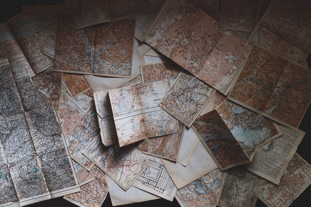
Create unique crafts with these full pages of vintage maps! Perfect for junk journaling, scrapbooking, and mixed media art projects.
Learning From Cross-Disciplinary Approaches
Collaboration Between Artists and Cartographers
Innovative partnerships between artists and cartographers create groundbreaking approaches to spatial representation. Leading institutions like the British Library and Stanford’s Spatial History Project pair artists with mapping experts to develop unique visualizations. These collaborations produce compelling results such as tactile relief maps mixed-media installations and interactive digital experiences that merge data accuracy with artistic vision. Recent projects include Paula Scher’s typographic city maps and Matthew Cusick’s map collage paintings which demonstrate how artistic techniques enhance cartographic storytelling.
Explore the United States with this 3D raised relief map. Feel the terrain and understand topography through its tactile, vacuum-formed design.
New Perspectives in Spatial Visualization
Digital tools transform traditional mapping conventions through artistic experimentation. Artists use 3D modeling augmented reality and generative algorithms to create dynamic spatial experiences that challenge static map formats. Recent innovations include sound maps that incorporate acoustic data thermal mapping art that visualizes climate patterns and bioregional maps that highlight ecological connections. These experimental approaches reveal hidden patterns relationships and spatial narratives that conventional maps often miss while making complex geographic data more accessible and engaging to diverse audiences.
Looking Ahead: The Future of Artistic Cartography
Emerging Technologies and Techniques
Virtual and augmented reality platforms are revolutionizing artistic cartography through immersive map experiences. Artists now utilize AI-powered tools to generate dynamic cartographic visualizations that respond to real-time data. Blockchain technology enables the creation of unique digital map artworks while protecting authenticity through NFTs. Advanced 3D printing techniques allow artists to produce tactile topographic sculptures with unprecedented detail. Computer vision algorithms help transform satellite imagery into abstract artistic interpretations while maintaining geographical accuracy.
Create 3D art with the SCRIB3D P1 3D Pen! This easy-to-use pen features adjustable speed control and includes PLA filament, a stencil book, and project guide to get you started.
Sustainability and Environmental Mapping
Environmental artists are creating dynamic maps that visualize climate change impacts through color-shifting elements and temporal data layers. Interactive installations track deforestation patterns biodiversity loss and carbon emissions using artistic representations of scientific data. Digital cartographers collaborate with environmental scientists to produce living maps that monitor ecosystem health through artistic interpretations of sensor data. Projects like “Climate Canvas” combine satellite imagery with generative art to create compelling visualizations of environmental changes. These artistic maps help communicate complex environmental data to broader audiences while inspiring action for conservation efforts.
Conclusion: Bridging Art and Cartography
The fusion of art and cartography continues to reshape how you perceive and interact with geographic information. This dynamic relationship has evolved from decorative medieval maps to today’s immersive digital experiences powered by AI and virtual reality.
As artists and cartographers push boundaries through innovative collaborations the possibilities seem limitless. You’ll find maps that not only guide but also tell stories challenge perspectives and address crucial environmental issues. These creative approaches make complex spatial data more accessible while preserving cultural heritage for future generations.
The ongoing dialogue between artistic expression and cartographic precision promises to deliver even more groundbreaking ways to visualize and understand our world. Through this powerful combination you’re invited to explore both the scientific and emotional dimensions of how we represent space and place.
