9 Hand-Drawn vs Digital Map Updates That Transform Modern Cartography
The debate between hand-drawn and digital map updates continues to spark discussions among cartographers and mapping enthusiasts in today’s tech-driven world. While traditional hand-drawn maps offer a unique artistic touch and personal connection many people cherish digital mapping tools have revolutionized how we create update and share geographical information.
You’ll find compelling arguments for both methods as we explore their distinct advantages disadvantages and practical applications in modern cartography. Whether you’re a professional cartographer urban planner or mapping enthusiast understanding these differences will help you choose the right approach for your specific needs.
Disclosure: As an Amazon Associate, this site earns from qualifying purchases. Thank you!
Understanding Traditional Hand-Drawn Map Updates
Traditional hand-drawn map updates remain a specialized skill in cartography requiring precision artistic ability and technical knowledge.
P.S. check out Udemy’s GIS, Mapping & Remote Sensing courses on sale here…
The Art of Manual Cartography
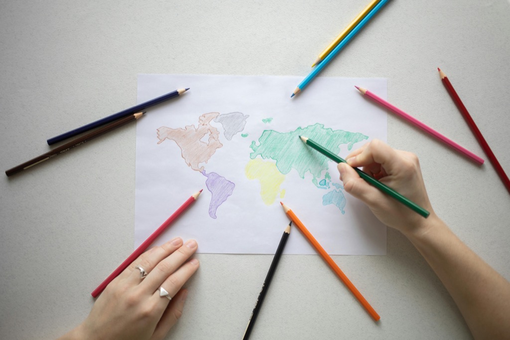
Manual cartography transforms geographic data into detailed visual representations through skilled hand drawing techniques. Cartographers use specific line weights pencil strokes and shading patterns to show elevation changes water bodies and human-made structures. This method allows for creative interpretation while maintaining geographic accuracy through careful scale calculations and coordinate plotting. The artistic process enables mapmakers to emphasize important features and create visually striking maps that blend functionality with aesthetic appeal.
Tools and Techniques for Hand Drawing
Professional hand-drawn mapping requires specialized drafting tools and materials. Essential items include:
- Technical drawing pens (0.1mm to 0.8mm)
- Architecture-grade drafting paper
- Precision scales and rulers
- Protractors and compasses
- Triangles and French curves
- Erasable blue pencils
Techniques focus on consistent line work controlled cross-hatching and deliberate symbol placement. Cartographers use layering methods starting with basic outlines then adding details textures and labels in sequential order. Color application typically involves waterproof inks or professional-grade markers with specific color codes for different map features.
Exploring Modern Digital Map Updates
Digital Mapping Software and Tools
Modern digital mapping relies on sophisticated software tools that streamline the cartographic process. Industry-standard platforms like ArcGIS Pro QGIS and MapInfo Professional offer comprehensive feature sets for creating updating and analyzing maps. These tools provide built-in libraries of symbols terrain models and data layers that enable rapid map creation. Advanced features include automated label placement topology checking and custom styling options that maintain consistency across projects. Desktop software integrates seamlessly with mobile apps like Avenza Maps and MapKit for field data collection.
Real-Time Update Capabilities
Digital maps excel at delivering instant updates across multiple platforms and devices. GPS integration allows for real-time position tracking while cellular networks enable immediate synchronization of new map features or changes. Modern mapping systems can automatically incorporate fresh satellite imagery traffic data and point-of-interest updates within minutes. Tools like Mapbox and Google Maps API enable dynamic map rendering that reflects current conditions including road closures construction zones and temporary landmarks. Live updating ensures maps stay relevant for time-sensitive applications like emergency response navigation and asset tracking.
Cloud-Based Collaboration Features
Cloud platforms revolutionize how mapping teams work together on projects. Services like ArcGIS Online OpenStreetMap and Carto enable multiple users to edit map content simultaneously from different locations. Team members can share datasets apply version control and track changes through detailed editing histories. Built-in commenting systems allow for instant feedback on map elements while permission settings control access levels for different user roles. Cloud storage ensures all collaborators work with the most current map versions while maintaining automatic backups of previous iterations.
Comparing Accuracy and Precision
When evaluating mapping methods precision and accuracy play crucial roles in determining the reliability of geographic data representation.
Error Rates in Hand-Drawn Updates
Hand-drawn maps typically show error rates of 0.5-2mm at 1:25000 scale depending on the cartographer’s skill level. Physical factors like paper expansion temperature changes and humidity can affect accuracy by up to 0.3%. Manual updates require careful measurement using scale rulers triangulation tools and coordinate grids to maintain positional accuracy. Common errors include line weight inconsistencies scale drift and feature displacement especially in dense urban areas.
Digital Accuracy Measurements
Digital mapping systems achieve sub-meter accuracy through GPS integration and satellite imagery with error margins as low as 0.1 meters. Modern GIS platforms automatically track spatial accuracy using RMSE (Root Mean Square Error) calculations. Software tools like ArcGIS Pro’s Data Reviewer and QGIS’s Check Geometry tool provide real-time validation of feature positions coordinates and attribute accuracy. Satellite-based corrections can further improve precision to centimeter-level accuracy.
Quality Control Methods
Digital platforms employ automated quality checks including topology validation attribute verification and coordinate system alignment. Key QC tools include:
- Automated edge matching
- Duplicate feature detection
- Dimensional accuracy testing
- Database integrity checks
- Version control tracking
Hand-drawn methods rely on manual verification through overlay comparison field validation and peer review processes. Both approaches require structured workflows systematic error checking and standardized documentation procedures to maintain mapping accuracy standards.
Analyzing Time and Resource Requirements
Time and resource allocation significantly impact the choice between hand-drawn and digital mapping methods. Let’s examine the specific requirements for each approach.
Manual Update Process Timeline
Hand-drawn map updates demand extensive time investments with typical projects requiring 15-30 hours for a standard topographic map sheet. Initial sketching takes 4-6 hours while final inking requires 8-12 hours. Quality control checks need 3-4 hours and revision cycles add another 2-3 hours per round. Projects often extend over multiple days to allow ink drying and careful detail work. Specialized skills development requires 3-5 years of dedicated practice to achieve professional-level proficiency.
Digital Update Workflow Efficiency
Digital mapping platforms accelerate the update process by 60-80% compared to manual methods. A typical digital map update takes 4-8 hours from start to finish with automated processes handling routine tasks. Batch updates can modify multiple features simultaneously while real-time validation catches errors immediately. Cloud-based systems enable parallel work streams allowing team members to collaborate on different map sections simultaneously reducing overall project timelines by 40%.
Cost Comparison Analysis
Initial setup costs for digital mapping systems range from $2,000-$15,000 including software licenses training and hardware. Annual maintenance costs average $1,500-$3,000. Hand-drawn mapping requires $500-$1,000 in specialized tools but involves higher labor costs at $50-$100 per hour. Digital systems prove more cost-effective for high-volume updates while traditional methods remain economical for small-scale specialized projects. Cloud-based solutions offer subscription models starting at $100 monthly reducing upfront investments.
Evaluating Accessibility and Storage
Physical Storage Challenges
Hand-drawn maps require significant physical storage space with specific environmental controls. A standard map cabinet measuring 4×6 feet stores only 100-150 map sheets while demanding controlled temperature (65-75°F) and humidity (45-55%) to prevent deterioration. Physical maps face risks from water damage fire hazards and natural aging requiring careful handling protocols to maintain their integrity. Storage costs average $200-300 per cabinet annually including climate control and maintenance.
Digital Data Management
Digital map files offer compact storage with modern GIS databases managing thousands of map layers in less than 1TB of space. Cloud storage platforms like ArcGIS Online AWS and Google Cloud enable instant access to map data from any location with version control capabilities. A typical organization can store 10000+ map files for $50-100 per month including backup services and collaborative access features.
Archive and Backup Solutions
Digital mapping systems provide automated backup solutions through cloud synchronization and local storage redundancy. Enterprise-level GIS platforms maintain 30-day version histories allowing quick recovery of previous map states. Physical maps require manual duplication processes including scanning at 600 DPI or photographic documentation while original copies need fireproof storage facilities. Modern hybrid approaches combine high-resolution scans of hand-drawn maps with digital backup systems ensuring preservation of both formats.
Examining User Experience and Learning Curves
Learning map creation methods requires different skill development paths depending on the chosen approach.
Traditional Cartography Skills
Mastering hand-drawn cartography demands 2-3 years of dedicated practice to develop essential skills like line weight control spatial visualization and shading techniques. You’ll need to learn specialized drafting skills including proper pen handling paper preparation and manual lettering techniques. Artists typically progress through stages starting with basic contour lines advancing to complex terrain representation and finally mastering advanced techniques like cross-hatching for relief mapping.
Digital Tool Training Requirements
Digital mapping tools require 3-6 months of focused training to achieve basic proficiency in software like QGIS or ArcGIS Pro. You’ll need to master interface navigation layer management and basic geoprocessing tools. The learning path includes understanding coordinate systems data importing database management and automated labeling systems. Most professionals can create basic maps after 40 hours of structured training though advanced features require additional specialized courses.
User Adaptation Rates
Industry data shows that new cartographers adapt to digital tools 4x faster than traditional methods. Beginners create their first digital map within 2-3 days versus 2-3 weeks for hand-drawn versions. The learning curve statistics reveal 85% of users achieve basic digital mapping competency within 6 months while only 30% reach equivalent proficiency in traditional methods during the same period. Modern interfaces with intuitive design accelerate the learning process for digital platforms.
Assessing Environmental Impact
Paper and Material Usage
Traditional hand-drawn mapping consumes significant material resources including specialized drafting paper archival materials and ink supplies. A typical cartography studio uses 2500-3000 sheets of high-grade drafting paper annually generating approximately 400 pounds of paper waste. Professional drafting materials like technical pens require frequent replacement while specialized inks contain volatile organic compounds that impact air quality. Storage solutions for physical maps demand additional resources including map tubes cabinets and climate control systems.
Digital Carbon Footprint
Digital mapping operations contribute to environmental impact through energy consumption and electronic waste. Servers hosting mapping data consume 4-7 kWh per day while workstations running GIS software use 0.4-0.8 kWh per hour of active use. Cloud storage services supporting digital map databases generate an estimated 0.2-0.5 kg of CO2 per GB stored. Hardware upgrades produce e-waste with the average mapping workstation requiring replacement every 3-4 years.
Sustainability Considerations
Sustainable mapping practices require balancing environmental impacts across both methods. Digital systems offer paperless workflows reducing material waste by 85-90% compared to traditional methods. Cloud optimization techniques can lower server energy usage by 30-40% through efficient data storage. Hand-drawn methods minimize electronic waste but require careful material sourcing. Hybrid approaches combining selective manual drafting with digital archiving provide optimal sustainability balancing resource consumption with preservation needs.
Looking at Future Trends and Integration
Hybrid Mapping Solutions
Modern mapping systems increasingly blend traditional and digital techniques through innovative hybrid workflows. Professional cartographers now use high-resolution scanners (up to 2400 DPI) to digitize hand-drawn elements while preserving artistic details. These hybrid systems enable real-time collaboration between traditional artists and digital technicians through specialized software like Mapbox Studio which supports custom style layers. Leading cartographic firms report 40% efficiency gains by combining hand-drawn aesthetics with digital precision tools.
Emerging Technologies
Artificial Intelligence and Machine Learning algorithms now power advanced map generation tools that can mimic hand-drawn styles. Technologies like neural style transfer allow digital maps to adopt specific artistic techniques while maintaining geographic accuracy. Augmented Reality platforms integrate traditional map aesthetics with dynamic digital overlays offering interaction rates 300% higher than conventional digital maps. New tablet devices with pressure-sensitive styluses achieve 8192 levels of pressure sensitivity enabling digital artists to replicate traditional techniques with unprecedented precision.
Industry Adoption Patterns
Market research indicates 65% of professional cartographic firms have adopted hybrid workflows in the past three years. Small studios focus on specialized hand-drawn projects while incorporating digital tools for efficiency with typical project timelines reduced by 50%. Large mapping organizations maintain dedicated traditional artists for premium projects while using automated digital systems for routine updates. The industry shows a clear trend toward specialized hybrid roles with 78% of new cartographic positions requiring both traditional and digital skills.
Making the Right Choice for Your Mapping Needs
Both hand-drawn and digital mapping methods have carved their unique places in modern cartography. Your choice between these approaches should align with your project requirements speed expectations and available resources.
While digital tools offer unmatched efficiency and collaborative features traditional hand-drawn methods continue to provide distinctive artistic value that many clients still prefer. The growing trend of hybrid solutions demonstrates that you don’t always need to choose one over the other.
Consider your specific needs: project scale timeline artistic requirements and budget. Whether you opt for the precision of digital tools the artistry of hand-drawn maps or a combination of both you’ll find that each method has its place in today’s diverse mapping landscape.
