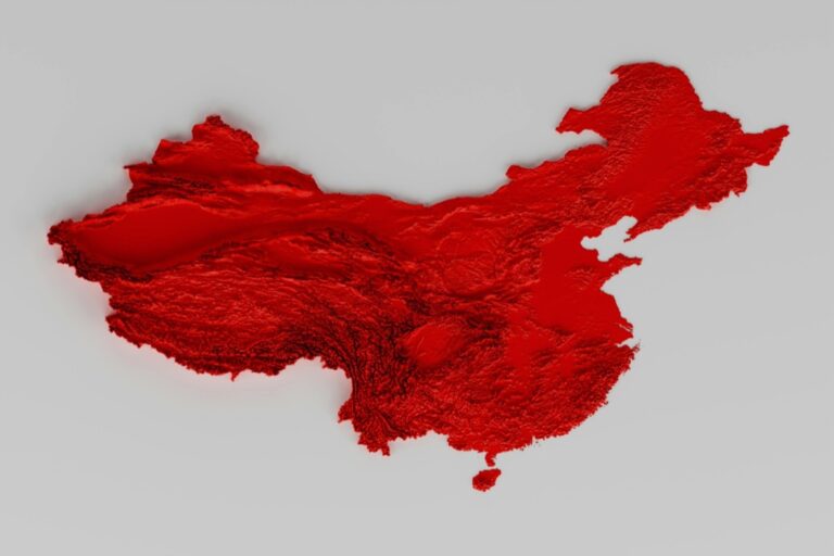
8 Key Distinctions: Land Surveyor vs. Cartographer
Exploring the world of maps and measurements, we often come across the professions of land surveyors and cartographers. While they may seem similar at a glance, their roles, tools, and approaches to capturing our world’s geography are distinct and fascinating.
Land surveyors and cartographers are both masters of the earth’s contours, but they play very different roles in the geography game. A land surveyor is like the front-line gatherer, stepping directly onto the field to collect raw data on land boundaries and topography.
On the flip side, a cartographer is the artist behind the scenes, transforming data into visual stories that are maps. While surveyors focus on the precision of defining space, cartographers are concerned with the presentation and utility of geographic information.
1. Educational Backgrounds
The educational paths for land surveyors and cartographers, while overlapping in areas such as geography and earth sciences, have their specialties. Land surveyors often need a degree in surveying or civil engineering, peppered with licensing exams to certify their skills in precision.
Cartographers, however, may find their home in geography programs with a strong emphasis on GIS (Geographic Information Systems) and map design. While both professions require a solid foundation in geography, their training diverges to focus on the specifics of their respective crafts.
2. Primary Job Responsibilities
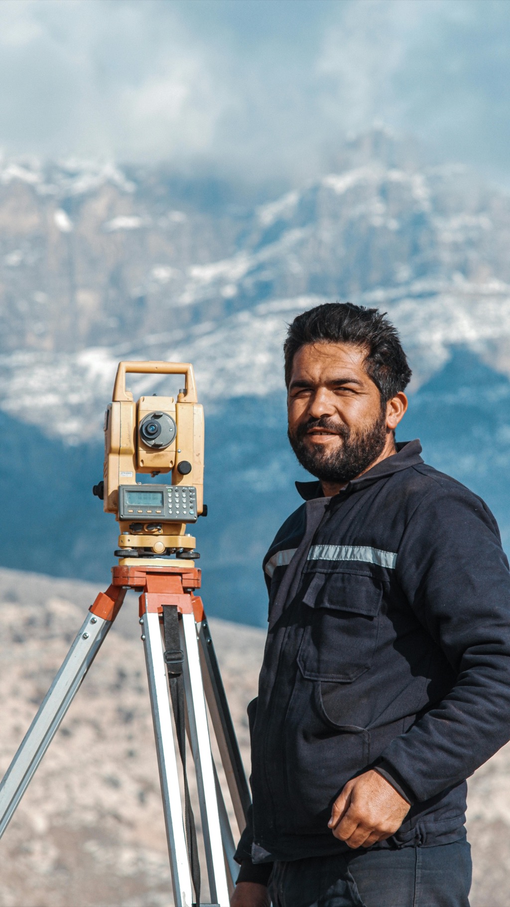
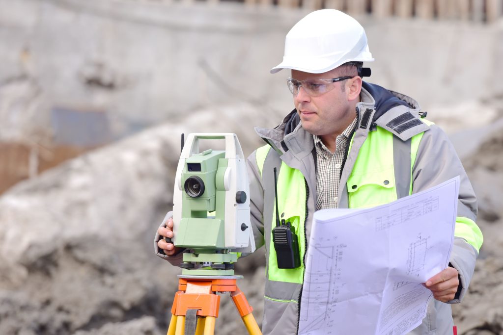
Land surveyors are the boots on the ground, tasked with the crucial job of establishing legal property lines and helping to shape the physical world through their measurements. They’re the go-to professionals for construction projects, property disputes, and any situation where the exact lay of the land is non-negotiable.
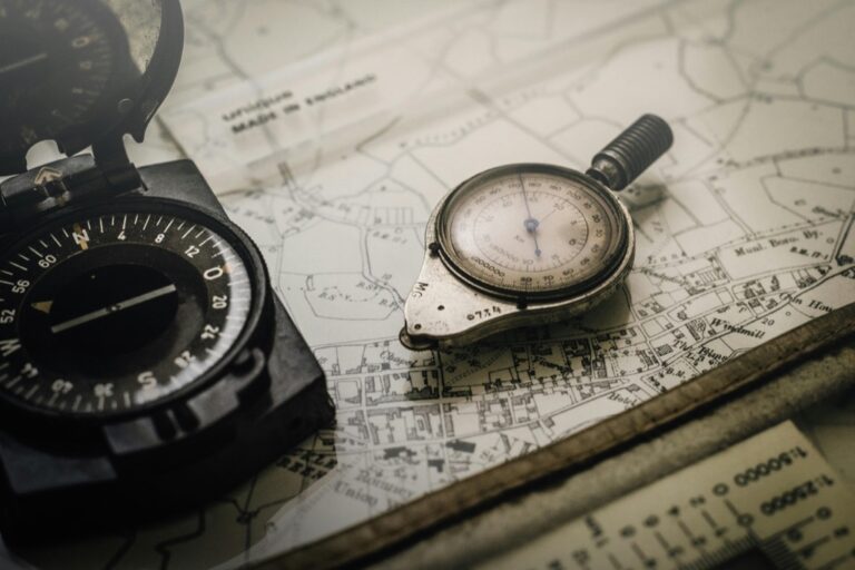
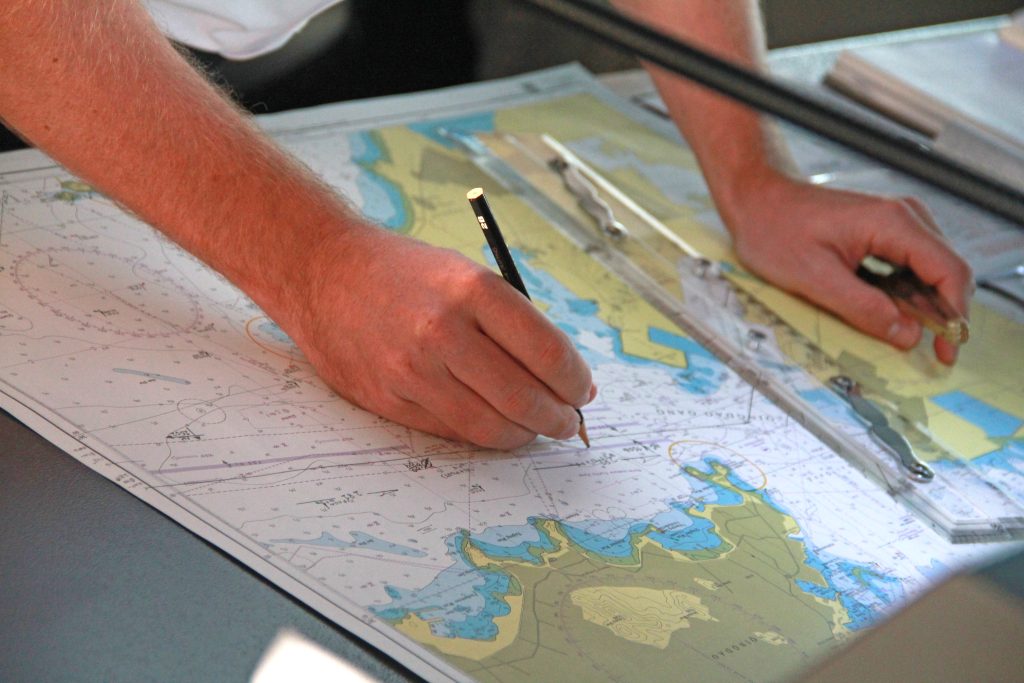
Cartographers, though, spend their days turning geographic data into practical and informative maps. They’re the unsung heroes who ensure you don’t get lost on your latest adventure or that city planners can visualize urban development.
3. Tools of the Trade
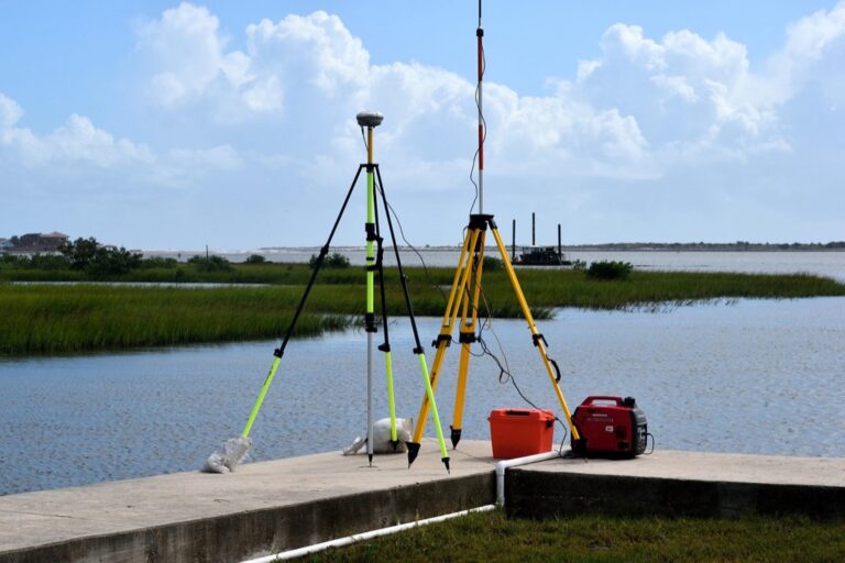
Surveyors come equipped with an arsenal of high-tech tools like theodolites, GPS devices, and total stations, which sound like something out of a spy movie (and just as cool). Cartographers, meanwhile, wield powerful software like ArcGIS and Adobe Illustrator, crafting the aesthetic and functional aspects of maps.
Both professions use technology to achieve their goals, but while surveyors measure and stake out the land, cartographers are busy with digital alchemy, turning data into cartographic gold.
4. Data Collection Methods
A land surveyor’s data collection is hands-on and direct; they’re the ones who attach those little flags you see in the ground (and you always wondered why they were there). They deal with the nitty-gritty of angles, distances, and elevations. Cartographers, on the other hand, often work with the data that surveyors and other sources provide, compiling and layering it to create a cohesive picture. They might not be out in the field, but their role in interpreting and visualizing the data is just as critical.
5. Mapping vs. Measuring
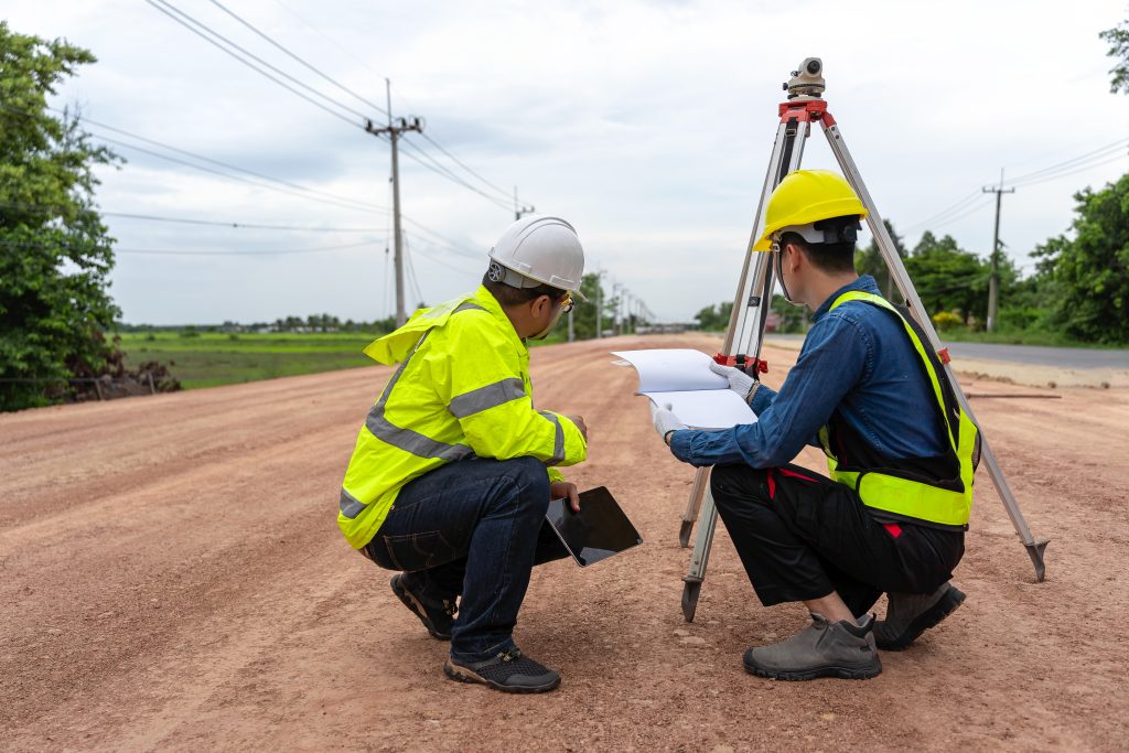
Let’s break it down: surveyors measure, and cartographers map. A surveyor’s day might include defining property lines with pinpoint accuracy, and ensuring that a new building doesn’t encroach on someone else’s land. A cartographer, though, translates these precise measurements into maps that can range from highly technical to beautifully abstract. Mapping is about creating a visual representation, while measuring is about capturing specific data points.
6. Work Environments Compared
It’s the difference between muddy boots and a dual monitor setup. Land surveyors are often found outdoors, braving the elements, and traversing various terrains. Cartographers, however, are more likely to be found in an office or studio, with the glow of their screens illuminating the latest map in progress. While surveyors might relish the fresh air (or curse the rain), cartographers enjoy the climate-controlled comfort of their creative domains.
7. Accuracy and Precision Focus
For land surveyors, accuracy and precision aren’t just important; they’re everything. A small mistake can lead to a boundary dispute or a construction mishap. Cartographers also value accuracy but their focus includes the aesthetics and usability of the map. They must balance precision with clarity, ensuring that the map communicates effectively with its audience, whether it’s a city planner or a casual hiker.
8. Career Paths and Progression
Surveyors often start their careers in the field, literally, and can progress to managing large surveying projects or running their firms. Cartographers can take their skills in many directions, from urban planning to environmental management, and can evolve into senior roles that shape policy and decision-making through their maps. Both careers offer a journey of professional development, with every step providing a new angle (or contour) to master.
Final Thoughts on Distinctions
While land surveyors and cartographers both play integral roles in how we understand and interact with our physical world, their paths diverge in practice and purpose. Surveyors define the reality on the ground, while cartographers interpret and present that reality. The collaboration between these two professions ensures that the world is not only measured with precision but also mapped with insight and accessibility.
The dance between the precise world of land surveyors and the interpretative realm of cartographers is a fascinating interplay of science and art. As we’ve explored, although their tools and tasks may differ, their combined efforts are what allow us to navigate and appreciate the complexities of our world.
