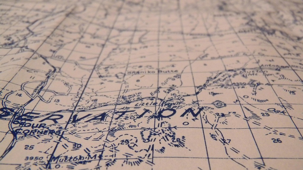
10 Best Map Projection Software for Accuracy
Navigating the world of map projections can be tricky, especially when you need to convert between them for your projects. The right software package can make all the difference in ensuring accuracy and efficiency. Discover the best tools available that simplify this process and enhance your mapping experience.
Disclosure: As an Amazon Associate, this site earns from qualifying purchases. Thank you!
QGIS
QGIS (Quantum GIS) stands out as a powerful open-source GIS software. You can effortlessly change the projection of vector and raster layers using its intuitive interface. To convert projections, leverage the Processing toolbox—select features, project them, and save as a new layer with a different Coordinate Reference System (CRS). QGIS also caters to user needs by automatically aligning layers to the project CRS, ensuring that everything displays correctly. With support for numerous plugins, you can expand your capabilities in editing, raster processing, and spatial analysis, making it a versatile choice for your mapping projects.
Master ArcGIS Pro 3.2 with this comprehensive guide. Learn essential GIS workflows and data management techniques for effective spatial analysis.
ArcGIS
Navigating the complexities of map projection conversions can be challenging for cartographers. Each projection presents unique distortions, affecting your mapping accuracy and usability. Selecting the appropriate projection is crucial, as it can significantly alter the interpretation of spatial data.
P.S. check out Udemy’s GIS, Mapping & Remote Sensing courses on sale here…
Technical Context
Understanding the technical nuances of map projections is essential. Projections are mathematical transformations that allow you to represent the Earth’s three-dimensional surface on a two-dimensional plane. Factors like scale, area, and distance change based on the projection you choose. Industry standards, such as those set by the Spatial Data Standards for Facility Infrastructure, guide you in selecting and applying the correct projections.
Key Methods for Effective Projection Conversion
When it comes to converting map projections, here are a few key methods to consider:
- Use GIS Software: Leverage powerful GIS tools like ArcGIS or QGIS, which facilitate seamless projection changes with user-friendly interfaces and comprehensive support for different Coordinate Reference Systems (CRS).
- Batch Processing: Employ libraries like GDAL for batch processing of spatial data, allowing you to convert large datasets with ease. This is particularly useful for extensive geospatial projects.
- Transformation Reference: Always reference authoritative transformation tables, such as EPSG Geodetic Parameter Dataset, to maintain accuracy during conversions.
Common Technical Issues
You might encounter several technical issues when performing projection conversions:
- Maintaining Accuracy: Data accuracy can degrade during transformations. Ensure you validate results by comparing converted data with original datasets.
- Identifying Appropriate CRSs: Misidentifying the CRS can lead to significant errors. Double-check the CRS information available within your datasets and in your GIS software.
- Managing Multiple Layers: When using multiple layers, ensure they’re aligned to the same projection to prevent misinterpretation. Most GIS tools allow you to reproject layers on the fly for consistency.
Data Visualization Options
Effective visualization is vital for conveying spatial information. To enhance your maps:
- Choose Appropriate Color Schemes: Employ color gradients and palettes that enhance readability and support the data story you’re telling.
- Utilize Point Symbols: Implement differing point sizes and shapes to depict various intensities within your dataset clearly.
- Incorporate Dynamic Elements: Use tools like ArcGIS Online for interactive maps, allowing users to engage with spatial data dynamically.
Workflow Frameworks for Consistency
Developing a clear workflow can significantly improve your mapping processes:
- Data Collection: Gather data from reliable sources, such as government databases or academic institutions.
- Initial Projection Setup: Choose the base projection and CRS for your project.
- Data Processing: Process and clean your data to remove errors or inconsistencies.
- Projection Conversion: Convert the data accordingly and validate results.
- Visualization: Create visual outputs using the chosen styling techniques.
Quality Control Tips
Quality assurance is paramount in projection conversions:
- Conduct Peer Reviews: Have fellow cartographers review your final outputs to provide feedback on accuracy and clarity.
- Verify Data Sources: Regularly check that your data sources maintain their integrity and reliability.
- Implement Version Control: Keep track of changes and revisions in your datasets and maps to ensure transparency.
By addressing these aspects and integrating best practices into your workflow, you can enhance your mapping capabilities and produce accurate, effective representations of geospatial data.
GDAL
GDAL (Geospatial Data Abstraction Library) stands as a top choice for converting map projections due to its robustness and versatility. Its foundational capabilities empower professionals like you to easily handle a myriad of geospatial data formats and reprojections.
Features of GDAL
- Data Format Support: GDAL’s extensive support for raster and vector formats lets you convert data seamlessly, covering formats such as GeoTIFF, Shapefile, and MrSID.
- Reprojection Capabilities: GDAL allows you to reproject geographic data from one coordinate system to another, ensuring accuracy across both vector and raster datasets.
- Command Line Utilities: GDAL comes equipped with utilities like
gdalinfo,gdalwarp, andogr2ogr, facilitating data translation and reprojection with ease.
- Batch Processing: You can handle multiple files at once, which streamlines your workflow for projects with large datasets.
- Open Source: Being open-source means GDAL is widely accessible and constantly updated, encouraging community-driven improvements.
- Integration: GDAL integrates smoothly with other tools like QGIS and GIS programming languages, providing you with flexibility in your mapping projects.
- Cost-Effective: As a free tool, GDAL minimizes costs while maximizing functionality, making it a smart choice for both professionals and enthusiasts.
By incorporating GDAL into your mapping processes, you can enhance your efficiency and maintain high-quality geospatial representations.
MapInfo Professional
MapInfo Professional stands out as a robust tool for converting map projections, designed to streamline your geographic data manipulation tasks. With its diverse range of features, it’s an asset for professionals seeking efficiency and flexibility in their mapping projects.
Features of MapInfo Professional
- Projection Support: You can work with an extensive array of map projections and coordinate systems, enabling seamless import and export of data while maintaining accuracy.
- Data Access and Formats: The software supports over 50 file types and more than 100 GIS and CAD formats, ensuring smooth data sharing and integration with other systems.
- Layer Control and Management: You’ll find a redesigned layer control that simplifies access to layers, style swatches, and label conditions, reducing workflow interruptions.
- Efficiency: You can quickly navigate through large datasets, saving time in your analysis and project execution.
- Versatility: The ability to manipulate various data formats makes it suitable for a range of mapping tasks, from urban planning to environmental analysis.
- User-Friendly Interface: You’ll appreciate the intuitive design that minimizes the learning curve, making it easier to implement complex map projections without extensive training.
GeoTools
GeoTools is a powerful and open-source Java-based geospatial toolkit designed for manipulating both vector and raster data and converting map projections. With its extensive capabilities, GeoTools stands as a robust option for professionals seeking effective solutions for their mapping needs.
Features of GeoTools
- Extensive Support for Map Projections: GeoTools allows you to work with various coordinate reference systems (CRS), supporting a vast array of projections defined by EPSG reference numbers.
- Data Format Support: GeoTools supports formats like shapefiles, GeoTIFF, and many database formats, including PostGIS, MySQL, and Oracle. This flexibility makes it easy for you to import and export data in multiple projections.
- User-Friendly Interface: Despite being a technical toolkit, GeoTools offers an approachable graphical interface that simplifies the conversion process.
- Integration Capabilities: GeoTools can seamlessly integrate with other GIS platforms, allowing for streamlined workflows in multi-software environments.
- Active Community Support: As an open-source project, GeoTools benefits from a dedicated community that continually enhances its features and provides helpful resources for users.
By leveraging the capabilities of GeoTools, you can effectively address various challenges posed by map projections and enhance the accuracy of your geospatial representations.
Comparison of Software Packages
When tackling map projection conversions, selecting the right software is crucial. Here’s a breakdown of key software packages to help you understand their strengths and applicability.
User-Friendliness
User-friendliness is vital for efficient map work. ArcGIS boasts a comprehensive interface suitable for both novices and experts, though it may require some time to master. QGIS provides a more intuitive layout that simplifies projection changes through its Processing toolbox. GeoPandas integrates smoothly with Python, making it accessible for programming-savvy users. Consider your familiarity with GIS tools when making your choice.
Cost and Licensing
Cost influences access to software tools. ArcGIS operates on a commercial license with various tiered pricing, which may deter some users. Conversely, QGIS is open-source and free, making it an excellent choice for budget-conscious users. GDAL also remains free and open-source, providing critical functionality without financial commitment. Understanding each software’s licensing structure helps you align your budget with your project goals.
Supported Projection Formats
Supported projection formats directly impact your mapping accuracy. ArcGIS supports an extensive range of coordinate reference systems (CRS), allowing you to handle various geographic transformations efficiently. In contrast, QGIS also shines in this area, offering a broad selection of projection options. GDAL enhances your setup by supporting numerous raster and vector formats, facilitating batch processing and reprojection capabilities. Evaluate the projection needs of your projects to ensure compatibility with the chosen software.
Use Cases for Software Packages
Selecting the right map projection can present significant challenges. Each projection distorts some aspect of spatial data, affecting visualization and analysis. Knowing which projection to use for specific purposes is essential to conveying accurate information.
Establishing Technical Context for Projections
To navigate these challenges effectively, it’s crucial to understand the technical context of map projections. Projections convert Earth’s three-dimensional surface to a two-dimensional plane, each with varying properties in terms of distance, area, and shape. Industry standards, such as those set by the International Association of Geodesy, provide guidelines for selecting appropriate projections based on the geographic area and purpose of the map.
Key Methods for Selecting Projections
- Identify Your Mapping Purpose: Determine if your focus is on area accuracy, shape conformity, or distance fidelity. For example, Albers Equal Area is ideal for displaying area relations, while Mercator is better for navigation due to its shape integrity.
- Utilize Software Tools: Many GIS applications simplify projection selection. For instance, ArcGIS Pro allows you to view distortion properties visually via the Projection Wizard, which highlights areas of potential distortion. Similarly, QGIS provides tools to assess layer alignment in different projections quickly.
- Conduct Spatial Analysis: Once you select a projection, apply spatial analysis tools to verify the effects of your choice. Software like PostGIS can help analyze how differently projected datasets interact spatially.
Addressing Common Technical Issues
Technical issues often arise with projection selection. One common concern is managing multiple layers in different projections. You can resolve this using on-the-fly projection in software like QGIS, which automatically adjusts layers to match the project’s defined coordinate reference system (CRS).
Another issue is the potential for significant distortion when opting for a less suitable projection. Always test different projections regularly by visualizing critical data attributes and comparing outputs.
Exploring Data Visualization Options
Proper data visualization is essential for effectively communicating your mapping objectives. Choose symbols, colors, and scales that enhance clarity without overshadowing the data. For instance, using graduated color maps can effectively convey statistical information on choropleth maps. Tools like Tableau can help you create interactive visualizations from spatial datasets to engage your audience better.
Providing Workflow Frameworks for Projection Use
To streamline your mapping process, establish a framework for choosing and applying projections:
- Define Objectives: Establish what message you want your map to convey.
- Select Projection: Research suitable projections based on your data’s geographic and thematic context.
- Verify Outputs: Check for any distortions and adjust projections as needed.
- Optimize Visualizations: Tailor visual elements to maintain readability and accuracy.
Quality Control Tips for Map Projections
Maintaining high standards in your mapping process is paramount. Implement the following quality control measures:
- Conduct Peer Reviews: Have colleagues inspect your maps for accuracy and usability.
- Log Changes: Document your projection choices and any revisions made to maintain transparency in your workflow.
- Test Various Outputs: Regularly validate your maps against industry benchmarks to ensure they meet professional standards.
Understanding these processes enhances your mapping capabilities, leading to better output and effective communication of spatial information.
Conclusion
Choosing the right software for converting map projections is essential for achieving accurate and reliable geospatial representations. Each tool discussed offers unique features that cater to different needs and preferences. Whether you opt for the advanced functionalities of ArcGIS Pro or the flexibility of QGIS and GDAL, understanding your specific requirements will guide your decision.
By leveraging these powerful software packages, you can enhance your mapping projects and ensure that your data maintains its integrity across various formats. The right choice not only streamlines your workflow but also improves the quality of your spatial analysis and visualizations. Embrace the tools that best fit your objectives and elevate your mapping experience.


