10 Best Physical Map Making Supplies for Transforming Coordinates to Artistry
Creating a physical map from coordinates can be a rewarding project that brings your data to life. With the right supplies, you can transform raw numbers into stunning visual representations that tell a story. In this guide, you’ll discover the best tools and materials to elevate your map-making game and make your vision a reality.
Disclosure: As an Amazon Associate, this site earns from qualifying purchases. Thank you!
Best Physical Map Making Supplies for Transforming Coordinates
Creating a physical map from coordinates involves using specific supplies to accurately represent your data. Here’s a breakdown of essential tools and materials to consider:
1. Mapping Paper
Choosing high-quality mapping paper is crucial. Bristol board or vellum can withstand multiple ink applications and is ideal for detailed work.
2. Precision Pens
Using precision pens enhances the clarity of your lines. Micron pens and technical drawing pens allow for fine detail and consistent ink flow, making your cartographic elements sharp and distinct.
Create precise, archival-quality lines with this set of six black Pigma Micron pens. Featuring fade-resistant, waterproof ink in various sizes, these pens are ideal for drawing, journaling, and crafting.
3. Ruler and Scale
Accurate measurement is vital. A clear acrylic ruler with both metric and imperial measurements will help maintain precision when drawing features and scaling your map.
Get accurate measurements with this durable, transparent 12-inch acrylic ruler. It features easy-to-read standard and metric markings, plus raised beveled edges for precise drawing.
4. Protractor
Incorporating a protractor assists in achieving the correct angles when plotting features. Look for a transparent protractor for better visibility.
Measure angles and lengths quickly with this set of two clear, 6-inch protractors marked in both inches and centimeters. Their hollow center makes them easy to grip and carry for geometry, drawing, and more.
5. Compass
A compass is essential for drawing circles and arcs. Select a drafting compass with an adjustable arm for versatile usage.
Create precise circles up to 8 inches with this durable, all-metal bow compass. Its spring bow head and center wheel ensure accurate and stable drawings for math, geometry, art, and drafting.
6. Coloration Tools
Adding color can significantly enhance map readability. Watercolor pencils or colored markers offer vibrant options for highlighting specific features or data points.
This 40-count set of Crayola Ultra Clean Washable Markers delivers vibrant color for all art projects. Easily washes from skin, clothing, and painted walls, making them perfect for kids ages 3 and up.
7. Cutting Tools
Utilizing a precision cutter or X-Acto knife aids in refining map edges and adjusting sizes without damage.
Get precise cuts with this durable blade featuring a zirconium nitride coating for enhanced strength. Its lightweight aluminum handle ensures comfortable, controlled use.
8. Reference Materials
Having topographic maps or coordinate data on hand is invaluable. Use GIS software to verify your coordinates during transformation and to ensure accuracy.
By incorporating these supplies into your mapping workflow, you can effectively transform raw coordinates into visually appealing, informative maps. Each tool plays a significant role in ensuring precision and clarity, enhancing the overall quality of your cartographic output.
Essential Tools for Accurate Mapping
Creating precise and visually appealing maps hinges on having the right tools. You’ll need to invest in high-quality supplies to ensure your mapping efforts yield professional results.
High-Quality Graph Paper
Graph paper serves as your foundational medium for various mapping projects.
- Scalability: It allows you to maintain scale and precision when plotting coordinates.
- Variety: Look for options like isometric paper for 3D representations, or blue line graph paper, which simplifies the scanning process by letting you remove grid lines easily.
Using graph paper tailored for specific mapping needs can greatly enhance your accuracy and efficiency.
Precision Rulers and Scales
Precision rulers and scales are crucial for accurate measurements and plotting coordinates accurately.
- Specialized Map Rulers: Use map rulers designed for latitude/longitude plotting or specific coordinate systems like UTM and MGRS.
- Units: Many of these rulers have marked edges in meters or kilometers, facilitating exact conversions and scaling.
By incorporating precision rulers into your workflow, you’ll alleviate common mapping errors and ensure coordinated accuracy.
Reliable Compasses and Protractors
Reliable compasses and protractors add another layer of precision to your mapping efforts.
- Compasses: Invest in high-quality compasses to draw circles and arcs accurately, vital for representing features like lakes or circular trails.
- Protractors: Use protractors to measure and plot angles accurately. This is essential when defining directional features or creating accurate polygons.
Implementing these tools will significantly enhance your map’s technical integrity and visual appeal.
Recommended Drawing Supplies for Clarity
Selecting the right drawing supplies is essential for achieving clarity and precision in your physical maps. Here are some key recommended tools to consider for your cartographic projects.
Fine-Liner Pens for Detailing
Fine-liner pens are crucial for adding intricate details to your maps. These pens offer consistent ink flow and varying tip sizes, allowing you to create sharp lines and precise lettering. For best results, consider brands like Micron or Staedtler, known for their archival quality. By using these pens, you ensure your details don’t smudge over time, maintaining the longevity of your work.
Colored Pencils for Differentiation
Colored pencils provide an excellent way to differentiate between various elements in your maps. You can easily layer colors for shading and highlight distinct features like roads, mountains, or bodies of water. Brands such as Prismacolor or Faber-Castell offer a range of colors that blend smoothly for more dynamic visuals. By strategically using color, you enhance both the readability and aesthetic appeal of your maps.
Watercolors for Aesthetic Enhancement
Watercolors can significantly elevate your map’s appearance while adding an artistic flair. You can create soft transitions between colors, making your landscapes more inviting and realistic. Utilize professional-grade sets like Winsor & Newton for vibrant pigments and excellent flow. By incorporating watercolor techniques, you not only enhance visual interest but also convey information in a more engaging way.
Must-Have Accessories for Convenience
Creating accurate and visually appealing maps requires the right accessories to ensure convenience and efficiency in your workflow. Here are essential tools that will enhance your mapping experience.
Clipboards for Stability
Clipboards can keep your maps stable and secure during work. Large format clipboards, specifically designed for bigger sheets, prevent crumpling and allow you to easily manage multi-page maps. Consider brands like Alvin or Saunders, known for their durable materials. They offer an adequate surface to rest your paper, which increases the precision of your hand-drawn elements.
Erasers for Cleanup
Erasers are crucial for maintaining a clean map presentation. Kneaded erasers are especially effective, as they can lift graphite without damaging the paper. Soft vinyl erasers are another excellent choice, providing precise cleanup for delicate details, particularly when using fine-liner pens. Using the right eraser helps in achieving clarity and prevents smudging, ensuring that your final work looks professional.
Storage Binders for Organization
Storage binders play a significant role in keeping your mapping materials organized. Utilizing 3-ring binders can help you store and categorize worksheets, drafted maps, and reference materials effectively. Look for ones with plastic sleeves to protect maps from wear and tear. This organization not only streamlines your workflow but also makes it easy to locate the specific references or designs you need for any project.
Innovative Technology for Modern Mapping
Mapping technology has evolved rapidly, enabling cartographers to produce more accurate and visually compelling maps. By leveraging innovative tools, you can enhance your mapping projects significantly.
GPS Devices for Coordinate Accuracy
GPS devices are essential for achieving high-accuracy coordinates in your mapping projects. These tools can offer coordinates accurate to within two meters, while advanced survey-grade receivers can reach centimeter-level precision. When selecting a GPS device, consider:
- Multi-frequency Signals: Opt for devices utilizing L1, L2, and upcoming L5 frequencies to improve accuracy.
- Modernization Programs: Stay updated on GPS advancements, as ongoing improvements can enhance signal quality and location details.
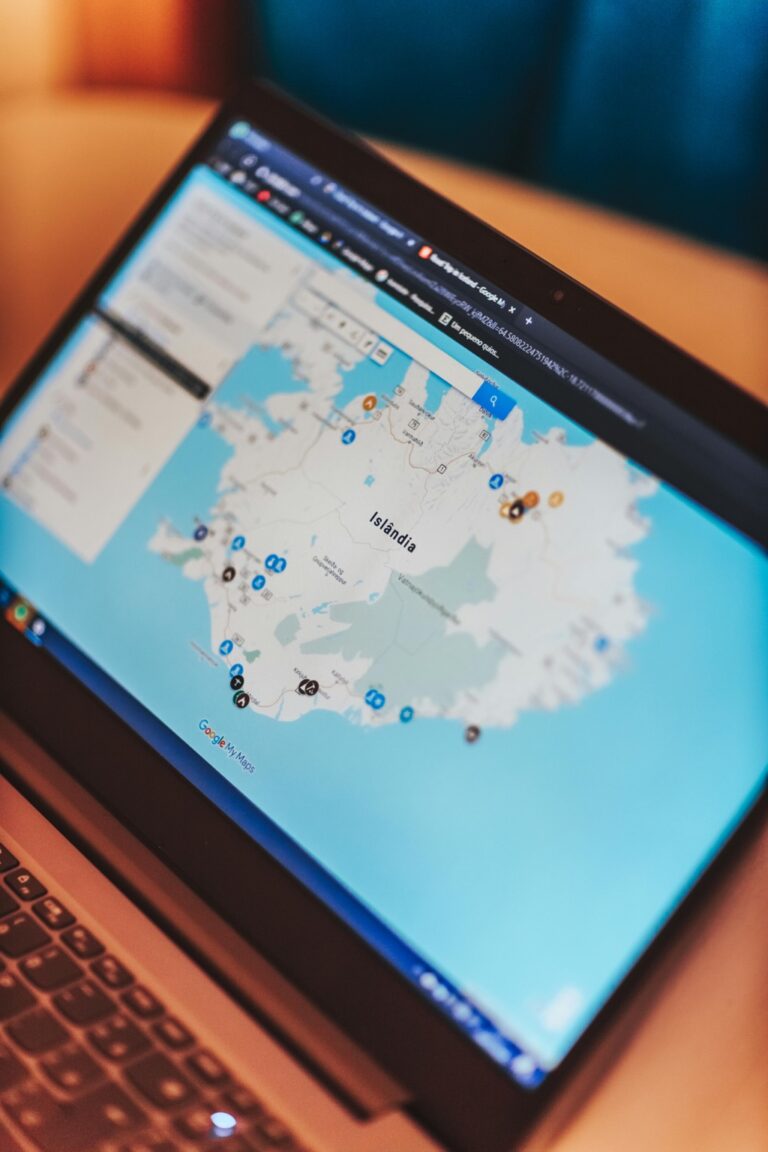
Mapping Software as a Supplement
Mapping software acts as a powerful supplement in your cartography toolkit, allowing you to manipulate and visualize spatial data effectively. Top software options include:
- ArcGIS: Provides robust tools for analysis and visualization; ideal for both beginners and seasoned professionals.
- QGIS: An open-source platform offering extensive plugins and customization for specialized mapping tasks.
- Google Earth Pro: Great for interactive visualizations and easy data import/export options.
Utilizing mapping software ensures that you can process data efficiently while presenting it in an engaging format for your audience.
Conclusion
Transforming coordinates into physical maps is an exciting journey that combines creativity with precision. By using the right supplies and tools, you can elevate your mapping projects and produce stunning visual representations of data.
High-quality materials like mapping paper and precision pens will ensure clarity while innovative technologies like mapping software can enhance your workflow.
Embrace the process and let your unique vision shine through your maps. With the right approach and tools, you’ll not only create informative maps but also enjoy the rewarding experience of bringing your ideas to life.


