10 Best Historical Map Reproduction Tools for Archivists to Improve Precision
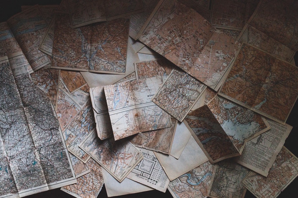
As an archivist, you know the importance of preserving historical maps for future generations. With the right reproduction tools, you can breathe new life into these invaluable resources while ensuring their accuracy and integrity. Discover the best tools that will elevate your archival work and make map reproduction a seamless process.
Disclosure: As an Amazon Associate, this site earns from qualifying purchases. Thank you!
Best Historical Map Reproduction Tools for Archivists
When you’re reproducing historical maps, selecting the right tools can make all the difference in maintaining their integrity. Here are some top options you should consider:
- Scanner: A high-resolution flatbed scanner, like the Epson Perfection V800, captures intricate details without sacrificing quality. Aim for at least 300 DPI for effective reproduction.
- Image Editing Software: Utilizing software like Adobe Photoshop allows you to adjust colors, repair damage, and enhance clarity. Familiarize yourself with layers to manage multiple adjustments seamlessly.
- Georeferencing Tools: Tools like ArcGIS or QGIS can align historical maps with current geographical coordinates. This process enables accurate overlaying, which is essential for comparative analysis.
- Printing Solutions: Invest in a printer capable of fine art printing, such as the Canon imagePROGRAF series. These printers offer a wide color gamut, crucial for reproducing map colors authentically.
- Archival Materials: Use acid-free paper and archival-quality inks to ensure longevity. These materials prevent degradation over time, preserving your maps for future generations.
By leveraging these tools, you can enhance the precision and quality of your historical map reproductions, ensuring they remain valuable resources in your archive.
P.S. check out Udemy’s GIS, Mapping & Remote Sensing courses on sale here…
Understanding Historical Map Reproduction Tools
When faced with the challenge of preserving historical maps, you’ll find that using the right reproduction tools is crucial. These tools not only safeguard the integrity of the maps but also enhance their accessibility for research and education.
Importance of Map Reproduction for Archives
Reproducing historical maps is vital for several reasons. Preservation is a primary goal since reproductions minimize direct handling of original documents, which can lead to wear and tear. Accessibility significantly improves as digital reproductions allow a broader audience to engage with historical maps, facilitating research and education. Analysis becomes more sophisticated with reproduction tools that enable georeferencing and overlaying historical maps with modern ones. Lastly, education benefits from these tools, creating interactive materials like story maps and exhibits to enrich understanding.
Types of Historical Map Reproduction Tools
You’ll encounter various types of historical map reproduction tools that cater to different aspects of the reproduction process. High-resolution flatbed scanners, for example, capture intricate details, ensuring that the originals’ quality is maintained. Image editing software, such as Adobe Photoshop, lets you refine and restore scanned images to enhance their visibility. Georeferencing tools like ArcGIS or QGIS allow you to align historical maps with modern coordinates for precise analysis. Additionally, fine art printers, such as those from the Canon imagePROGRAF series, provide high-quality prints on archival materials. Lastly, utilizing acid-free papers and inks guarantees longevity and safekeeping of the reproductions.
Essential Software Tools for Map Reproduction
When reproducing historical maps, leveraging the right software tools streamlines your workflow and enhances accuracy. Here are some essential tools to consider for your archival projects.
Geographical Information System (GIS) Software
Using GIS software is invaluable for analyzing and visualizing historical maps. ArcGIS offers a robust suite, including ArcGIS Online and ArcPro, enabling you to overlay historical and current geographic data seamlessly. QGIS, an excellent open-source alternative, allows for in-depth data layering and analysis. Both tools support formats like USGS historical topographic maps, making them crucial for archivists seeking to combine various datasets effectively.
Master ArcGIS Pro 3.2 with this comprehensive guide. Learn essential GIS workflows and data management techniques for effective spatial analysis.
Image Editing Software for Map Restoration
Restoring historical maps requires precision. Adobe Photoshop is a go-to option for intricate image editing tasks, allowing you to remove blemishes and enhance color fidelity. The GIMP software provides a free alternative that supports powerful editing capabilities without cost. These tools help you maintain the original appearance of historical maps while enabling you to prepare them for high-resolution reproduction.
3D Mapping Software for Visualizing Historical Maps
Employing 3D mapping software enhances your ability to visualize historical maps. SketchUp is particularly useful for creating three-dimensional representations that bring old maps to life, allowing users to understand geographical changes over time. ArcGIS Pro also includes 3D visualization features that can help create immersive experiences, making complex historical data more accessible and engaging for your audience.
Recommended Physical Tools for Map Reproduction
When it comes to reproducing historical maps, using the right physical tools is crucial for ensuring accuracy and longevity. Here are some top recommendations:
High-Quality Scanners for Detailed Reproduction
Large-format scanners are essential for capturing detailed images of historical maps. Look for commercial-grade models that operate at resolutions between 300 and 1200 dpi. For instance, many archivists rely on WardMaps LLC scanners, which provide high fidelity to colors, texts, and place names. These scanners capture intricate details, preserving the map’s original appearance for future analysis and display.
Archival Quality Printing Equipment for Maps
Fine art printers capable of producing high-quality prints are key for displaying reproduced maps. Equipment like the Canon imagePROGRAF series offers excellent print resolution and color accuracy, making it ideal for showcasing historical maps. Additionally, ensure that the inks and papers used are acid-free and meet archival standards to prevent deterioration over time.
Conservation Tools for Map Preservation
Conservation tools are vital in preserving the integrity of historical maps during reproduction. Use items like museum-quality mats, storage boxes, and UV-filtering sleeves to protect fragile documents. Tools for gentle cleaning, such as soft brushes and specialized erasers, help maintain the surface without causing damage. Incorporating these conservation techniques ensures the longevity of the maps in your care.
Practices for Effective Map Reproduction
Reproducing historical maps requires thoughtful techniques and practices to maintain both quality and integrity. Here are essential practices for successful map reproduction.
Techniques for Digitizing Historical Maps
Digitizing historical maps begins with assessment and preparation. You should evaluate the physical condition of each map to determine if conservation is required. Use lint-free cloths and gloves while handling fragile maps to prevent damage. For digitization, select high-quality equipment: large-format scanners work best for oversized maps, while high-resolution flatbed scanners are ideal for smaller ones. If needed, you can also use camera setups with stabilized lighting to capture delicate details.
Methods for Maintaining Map Quality During Reproduction
Maintaining map quality during reproduction involves careful scanning and file management. Always scan maps in sections if they’re too large for a standard scanner, ensuring every detail—including borders and notations—is captured. Save the digitized maps as TIFF files for their archival quality, while creating JPEG or PNG versions for regular access. This practice keeps the integrity of the original map intact, while facilitating easier sharing for research purposes.
Guidelines for Properly Storing Reproduced Maps
Proper storage of reproduced maps is crucial for preservation. Store maps in acid-free sleeves or folders to protect against environmental effects. Treat the storage area carefully: keep it cool, dry, and dark to minimize deterioration. When organizing, label files clearly to allow quick access while maintaining an archived inventory. By following these guidelines, you can ensure your reproduced maps remain in excellent condition for future users.
Conclusion
Utilizing the right tools for reproducing historical maps is essential for archivists dedicated to preserving these invaluable resources. By investing in high-quality scanners and image editing software you can ensure that the integrity of each map is maintained. Incorporating GIS technology enhances your ability to analyze and visualize historical data effectively.
Moreover the use of archival materials guarantees that reproductions stand the test of time. Following best practices in handling and storage will further protect these delicate documents. With the right approach and tools you can make historical maps more accessible for research education and enjoyment. Embrace these resources to enrich your archival efforts and safeguard history for future generations.


