10 Best Measuring Tools for Accurate Distance Calculation That Improve Precision
Accurate distance measurement is crucial in various fields, from construction to outdoor adventures. With the right tools, you can ensure precision in your projects and activities. Discover the best measuring tools that will elevate your distance calculation game and help you achieve flawless results.
Laser Distance Meter
Laser distance meters utilize laser beams to measure distances accurately and quickly. Tools like the Leica DISTO D2 can measure distances up to 330 feet (100 meters) with a margin of error of ± 1/16 inch (± 1.5mm).
Surveying Tape
High-quality surveying tapes provide reliability in outdoor settings. A 100-foot steel tape measure helps you accurately measure long distances, especially in scenarios where digital tools may fail.
GPS Devices
Navigate confidently with this GPS device featuring a bright 5" touchscreen and detailed North American maps. Stay informed with alerts for speed changes, school zones, and sharp curves, plus Tripadvisor ratings for points of interest.
GPS devices, such as the Garmin eTrex, allow you to measure distances over varied terrains. These devices are excellent for outdoor mapping and can have accuracy levels of up to 10 feet (3 meters) depending on conditions.
Smartphone Apps
Mapping apps like MapMyHike or GPS Fields Area Measure offer convenient distance measuring features directly from your smartphone. These applications can provide you with visual data and integration with your mapping projects.
Optical Rangefinders
Optical rangefinders are ideal for challenging environments. Devices like the Bushnell Pro XE offer precise measurements even in low visibility conditions while providing advanced features such as slope adjustments.
By selecting the appropriate measuring tool for your specific mapping challenges, you enhance your accuracy, efficiency, and overall productivity in the field.
Best Manual Measuring Tools
When it comes to accurate distance calculations, manual measuring tools remain invaluable. Here are top choices that can enhance your precision with every project.
Steel Tape Measures
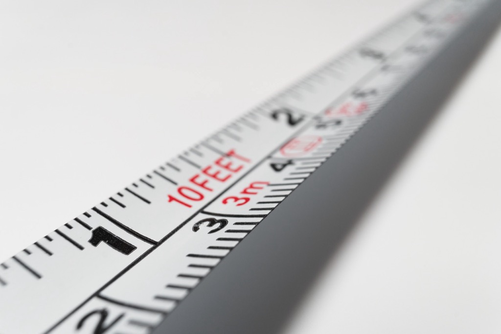
Steel tape measures are essential for versatile measuring tasks. You can find them ranging from 6 to 300 feet, making them suitable for both short and long measurements. These tapes are highly portable and can be clipped to your belt for easy access. However, they require careful handling to avoid errors, especially in shorter measurements. Although robust, keep in mind that they might not provide the highest precision compared to other tools.
Measuring Wheels
Measuring wheels excel in both short and long distance measurements. You’ll appreciate their design, which counts wheel rotations to calculate distance by using the circumference. This feature makes them useful for large areas, like construction sites or outdoor surveying. Opt for a sturdy measuring wheel with clear markings for accuracy. They’re especially handy when you need to cover extensive distances quickly and efficiently.
Calipers
Calipers are ideal for precise measurements, especially when detail matters. You might use them for measuring small objects, gaps, or even contours. Whether digital or manual, calipers offer excellent accuracy, often down to a hundredth of an inch. Popular models like the Mitutoyo offer reliable performance across various applications. Just remember, while calipers excel in small distance measurements, they do have limitations when measuring larger spans.
Best Digital Measuring Tools
When it comes to accurate distance calculation, digital measuring tools stand out for their precision and efficiency. Here are some of the best options available to meet your measuring needs.
Laser Distance Measurers
Laser distance measurers are ideal for precise measurements with minimal effort. Most high-quality models, like the Leica Geosystems DISTO E7500i and Hilti PD-E 2062051, provide an accuracy of ±1/16 inch (±1.5 mm) or better. These devices can measure distances of up to 656 feet, incorporating features such as built-in viewfinders and smart horizontal modes that account for angles. You’ll appreciate how easy they make measuring large spaces, even outdoors.
Measure distances up to 656 feet with +/- 0.04 inch accuracy using this laser range meter. It stores 30 measurements and includes batteries for up to 5000 uses.
Digital Tape Measures
Digital tape measures blend convenience with traditional measuring techniques. For instance, the DuraTape Digital Measuring Tape exhibits an easy-to-read digital LCD display that shows measurements in real-time. Offering a reach of up to 33 feet, these tools enhance accuracy with features like memory recall and conversion options between metric and imperial units. With a digital tape measure, you can quickly measure and record dimensions without the hassle of manual calculations.
Measure with precision using this 2-in-1 laser tape measure. It combines a 16ft tape measure with a 197ft laser distance measurer, offering six measurement modes and a rechargeable battery for 5000 uses.
Ultrasonic Distance Measurers
Ultrasonic distance measurers are handy tools for measuring distances in challenging environments. Devices like the Tacklife HD240 can accurately measure distances up to 50 feet using ultrasonic technology. These tools are particularly useful when you need to measure across obstacles where a direct line is unavailable. You’ll benefit from average continuous measurement features and the ability to switch between metric and imperial systems, making them versatile for various applications.
Best Apps for Distance Calculation
Accurate distance measurement can now be achieved conveniently through apps on your smartphone or tablet. These tools are essential for various applications, from outdoor recreation to professional construction projects.
Smartphone Measurement Apps
You can effortlessly measure distances using smartphone apps designed for this purpose. Popular options include:
- Measure (iOS): This built-in app uses augmented reality to quickly calculate distances without additional tools.
- Google Maps: Beyond navigation, you can access the distance between points by measuring routes or using the “Measure Distance” feature.
- MapMyHike: Ideal for outdoor enthusiasts, this app tracks your routes and calculates distance traveled in real-time.
These apps offer quick, user-friendly solutions for everyday distance measurements.
Specialized Construction Apps
You can enhance your efficiency on construction sites with specialized distance measurement apps. Some of the best include:
- PlanSwift: This tool provides detailed measurement features, letting you snap lengths directly on your plans and blueprints.
- Construction Master Pro: It’s a calculator app specifically designed for construction, ensuring you get accurate calculations for lengths, areas, and volumes.
- iHandy Level: While primarily a leveling tool, this app includes a measurement feature that can assist you in gauging distance effectively.
These apps are tailored to meet the unique demands of construction professionals, ensuring precision in all measurements.
Best Specialty Measuring Tools
One common challenge you may face in mapping is ensuring accurate distances, especially when working with large terrains or challenging environments. Precision is paramount, as even minor errors can lead to significant discrepancies in your final maps.
To navigate this precision requirement, you’ll need an arsenal of specialized tools. Understanding the technical principles underlying these tools can empower you to select the best options for your mapping projects.
Key Methods for Accurate Measurements
- Laser Rangefinders: These devices are invaluable for measuring long distances quickly and accurately. They use laser pulses to calculate distance, making them effective in environments where traditional tools may falter. For instance, Jenoptik’s laser rangefinders can measure up to 60 kilometers with millimeter precision, even under poor visibility conditions.
- GPS Devices: High-quality GPS devices, such as the Garmin eTrex series, offer accurate positioning across diverse terrains. They utilize satellites for location tracking, essential for outdoor mapping efforts and field surveys. Keep in mind that while GPS provides excellent horizontal accuracy, elevation readings can vary based on environmental factors.
- Spirit Levels: For ensuring vertical accuracy in your maps, spirit levels are indispensable. They help confirm that your base maps are aligned correctly. Using high-quality levels, such as those from Stabila, can enhance operational efficiency and improve your mapping quality.
Addressing Common Issues
When utilizing these tools, it’s vital to understand their limitations. For instance, laser rangefinders can struggle in foggy conditions, and GPS devices may lose signals near tall structures.
Data Visualization Techniques
Incorporating accurate measurements into your maps means utilizing effective data visualization techniques. Tools like ArcGIS or QGIS allow for layering essential data, presenting complex information in an easily digestible format. You can customize your visuals to highlight significant features and present data clearly to your audience.
Workflow Frameworks for Efficient Mapping
Implementing a structured workflow can streamline your mapping process. Follow these steps:
- Data Collection: Use specialized measuring tools to gather accurate data.
- Data Processing: Clean and process your data to ensure reliability.
- Visualization: Utilize mapping software to visualize your data effectively.
- Review and Quality Control: Regularly check your results against the original data sources for accuracy.
Quality Assurance Tips
To maintain high standards in your mapping projects, incorporate QA/QC procedures:
- Double-check measurements: Always verify your collected data against established benchmarks.
- Standardize techniques: Use consistent methods across different projects to reduce variability.
- Conduct peer reviews: Sharing your findings with fellow cartographers can help catch unnoticed errors and enhance the overall accuracy.
By using the right tools and techniques, you can navigate mapping challenges with confidence while ensuring precise and reliable outcomes. Remember that the quality of your data sources and adherence to industry standards are paramount for successful mapping endeavors.
Conclusion
Choosing the right measuring tools is crucial for achieving accurate distance calculations. Whether you opt for manual methods or advanced digital solutions each tool has its unique advantages that cater to different needs. By understanding the strengths of each measuring tool you can enhance your precision and efficiency in any project.
Embrace technology with laser distance meters and smartphone apps for quick and reliable measurements. Don’t overlook traditional tools like steel tape measures and measuring wheels for their versatility in various settings. With the right equipment in hand you’ll be well-equipped to tackle any distance measurement challenge that comes your way.


