9 Ways to Balance Tradition and Innovation in Map Making That Transform Design
Maps have evolved from ancient cave drawings to sophisticated digital interfaces yet cartographers still grapple with balancing time-honored techniques and cutting-edge technology. While modern mapping tools offer unprecedented accuracy and interactivity traditional cartographic principles continue to form the backbone of effective map design.
You’ll discover how today’s mapmakers blend classical elements like color theory and visual hierarchy with innovative features like real-time updates and 3D visualization creating maps that honor the past while embracing the future. Whether you’re a professional cartographer or simply fascinated by maps understanding this delicate balance between tradition and innovation will help you appreciate the artistry and science behind modern map creation.
Disclosure: As an Amazon Associate, this site earns from qualifying purchases. Thank you!
Understanding the Historical Legacy of Traditional Cartography
Ancient Map Making Techniques
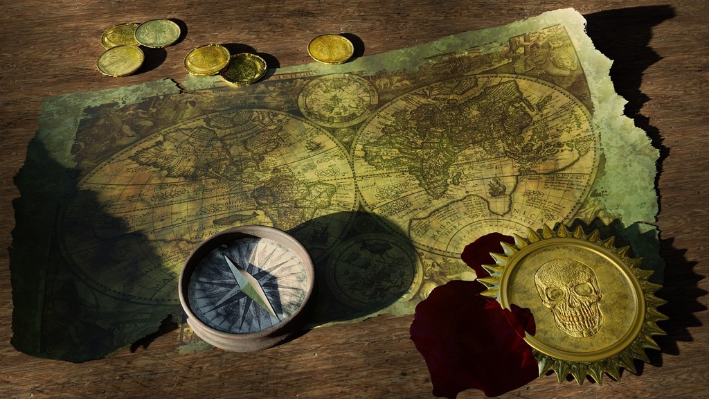
Early cartographers created maps using natural materials like clay tablets papyrus and parchment to document their surroundings. They developed sophisticated methods including celestial navigation triangulation and distance measurements using tools like the astrolabe compass and sextant. Ancient civilizations from Babylonians to Greeks established fundamental mapping principles such as coordinate systems grid patterns and scale representations that still influence modern cartography. These early mapmakers used symbolic languages standardized icons and color coding to represent different terrains water bodies and settlements.
P.S. check out Udemy’s GIS, Mapping & Remote Sensing courses on sale here…
Cultural Significance of Traditional Maps
Traditional maps served as powerful tools for cultural expression preserving indigenous knowledge and spiritual beliefs across civilizations. Medieval European maps often featured religious imagery while Islamic cartography emphasized mathematical precision and astronomical observations. Chinese maps highlighted feng shui principles and imperial boundaries through artistic elements. Maps became symbols of power knowledge and cultural identity enabling trade exploration and territorial claims. Native American tribes created stick charts recording ocean currents while Pacific Islanders used shell maps to navigate vast ocean expanses demonstrating how different cultures developed unique mapping solutions.
Exploring Modern Digital Map Making Technologies
Digital cartography has revolutionized how we create visualize and interact with geographic information through powerful tools and technologies.
Geographic Information Systems (GIS)
GIS technology forms the backbone of modern digital cartography by combining spatial data analysis with visualization capabilities. Industry-standard platforms like ArcGIS and QGIS enable mapmakers to layer multiple datasets manage complex geographic information and perform advanced spatial analysis. These systems support vector and raster data processing while maintaining traditional cartographic principles of scale projection and symbology. Modern GIS tools also facilitate collaborative mapping through cloud-based platforms allowing multiple users to work on projects simultaneously.
Satellite Mapping and Remote Sensing
Satellite technology provides unprecedented access to high-resolution imagery and terrain data for mapping applications. Advanced sensors capture multispectral imagery thermal data and elevation measurements with sub-meter accuracy. Organizations like NASA and ESA maintain vast libraries of satellite data that mapmakers can access through platforms such as Landsat and Sentinel. Real-time satellite imagery now enables dynamic mapping of environmental changes natural disasters and urban development with greater precision than ever before.
Interactive Mapping Platforms
Web-based mapping platforms have transformed static maps into dynamic interactive experiences. Tools like Mapbox Leaflet and Google Maps API allow creators to develop responsive maps that users can zoom pan and query for specific information. These platforms support custom styling features live data integration and mobile optimization. Modern interactive maps can display real-time data layers toggle between different views and incorporate user-generated content while maintaining professional cartographic standards.
Preserving Traditional Map Making Skills in a Digital Age
Hand-Drawing and Illustration Techniques
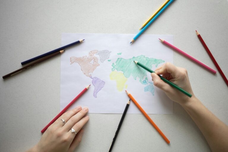
Master cartographers still employ essential manual skills that digital tools can’t fully replicate. Hand-drawing techniques like cross-hatching for terrain shading create unique textures that give maps distinctive character. Practice sketching landforms freehand using fine-point pens to develop muscle memory for natural contours. Traditional techniques like stippling for water bodies and calligraphy for labels require patient practice but result in maps with timeless appeal. These skills help you understand spatial relationships intuitively making you a better digital cartographer.
Learn modern calligraphy and hand lettering with this beginner-friendly guide. It features clear instructions and helpful exercises to develop your skills.
Traditional Color Theory and Symbology
Classical color harmony principles remain crucial for effective map design despite digital advances. Learn to use complementary colors for contrast between land features while maintaining visual hierarchy through careful saturation control. Traditional symbols like north arrows hachures and scale bars evolved over centuries to communicate clearly at a glance. Master the use of visual variables like size shape value texture orientation and hue to create intuitive map symbols. Understanding these foundational concepts helps you make better choices in digital environments.
Integrating Traditional Design Elements With Modern Tools
Modern cartography requires a delicate balance between preserving classical techniques and leveraging digital innovations.
Blending Classical Aesthetics With Digital Precision
Digital mapping tools now offer unprecedented precision while maintaining traditional artistic elements. Use vector-based software like Adobe Illustrator to recreate hand-drawn textures digitized at high resolutions. Apply classic hill-shading techniques through custom algorithms in GIS platforms that mimic traditional pen-and-ink methods. Implement traditional color palettes from historical maps using RGB values in digital environments while maintaining the subtle gradients and tonal variations that characterize hand-painted maps.
Incorporating Historical Map Styles in Digital Formats
Transform historical map styles into reusable digital templates using modern mapping software. Convert traditional compass roses decorative borders and cartouches into scalable vector graphics for consistent application across projects. Apply vintage textures and patterns through custom symbolsets in GIS platforms like ArcGIS or QGIS. Create digital brushes that replicate historical pen techniques allowing you to maintain the character of traditional maps while benefiting from precise geographic data and automated labeling systems.
Addressing Contemporary Mapping Challenges
Environmental and Climate Change Mapping
Modern mapmakers face unprecedented challenges in visualizing environmental data with precision and clarity. Advanced remote sensing technology enables tracking deforestation patterns forest fires and coastal erosion through multi-temporal mapping. GIS platforms like ArcGIS Climate and QGIS now integrate climate models with traditional base maps allowing you to layer temperature variations sea-level projections and habitat shifts. Tools such as Google Earth Engine help process vast amounts of satellite imagery to create dynamic environmental change maps that combine historical data with predictive modeling.
Urban Planning and Development Visualization
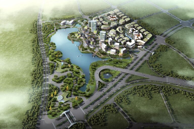
Urban development mapping requires sophisticated 3D visualization tools to represent complex spatial relationships in growing cities. Popular platforms like CityEngine and SketchUp help you create detailed city models that integrate zoning regulations building heights and infrastructure networks. Smart city initiatives now demand maps that display real-time traffic patterns energy usage and population density. Modern mapping solutions combine LiDAR data with traditional survey methods to generate precise digital elevation models while maintaining familiar cartographic conventions for easy interpretation.
Real-Time Data Integration
Real-time mapping systems transform static cartography into dynamic information displays. Platforms like Mapbox and Carto enable you to integrate live sensor data GPS tracking and social media feeds directly into interactive maps. Modern APIs allow seamless connection to IoT devices traffic cameras and weather stations creating constantly updating visualizations. You can now implement WebSocket connections to display instant updates while maintaining traditional mapping elements like scale bars and legends that anchor the user experience.
Meeting User Expectations in Modern Cartography
Balancing Accuracy and Artistic Expression
Modern cartographers must strike a delicate balance between precise geographic data and visually appealing design elements. Begin with a solid data foundation using verified coordinates and elevation models while incorporating artistic techniques like custom symbology and thoughtful color palettes. Industry leaders like National Geographic exemplify this approach by using satellite-derived data alongside hand-drawn hillshades and carefully selected typography. Implement visual hierarchies through varying line weights symbol sizes and color intensity to guide user attention without compromising spatial accuracy.
Creating Intuitive User Interfaces
Design map interfaces that prioritize user experience through clear navigation controls and logical feature organization. Place essential tools like zoom pan and search functions in easily accessible locations following established patterns from platforms like Google Maps and OpenStreetMap. Include responsive design elements that adapt to different screen sizes and touch-based interactions. Implement progressive disclosure to prevent interface clutter showing advanced tools only when needed. Maintain consistent symbology and control placement across different map views to reduce cognitive load for users.
Ensuring Map Accessibility and Cultural Preservation
Modern map creation requires careful consideration of both digital accessibility and cultural heritage preservation to serve diverse user needs while respecting historical significance.
Digital Archives of Historical Maps
Digital preservation platforms now enable unprecedented access to historical maps through high-resolution scanning and georeferencing techniques. Leading institutions like the Library of Congress use 600 DPI scanning standards to capture intricate details while implementing metadata tagging systems for efficient searching. Cloud-based archives feature specialized viewing tools that allow users to examine delicate manuscripts without physical handling. The David Rumsey Map Collection exemplifies this approach by providing free access to over 150000 historical maps through interactive viewers that support deep zoom functionality.
Cross-Cultural Map Design Considerations
Effective cross-cultural mapping demands attention to diverse symbolism color meanings and directional conventions across different societies. Map designers must consider right-to-left reading patterns for Arabic audiences distinctive color associations like white symbolizing mourning in East Asian cultures and varying cultural interpretations of cardinal directions. Essential practices include using culturally neutral icons consulting local experts for symbol verification and implementing flexible legend systems that accommodate multiple language scripts. Leading platforms like Mapbox now offer cultural sensitivity guidelines for international cartographic projects.
Looking Forward: The Future of Hybrid Map Making
Geographic information technology continues to evolve rapidly while maintaining connections to cartographic traditions.
Emerging Technologies in Cartography
Artificial intelligence and machine learning are transforming modern cartography through automated feature detection and smart labeling systems. Advanced 3D visualization tools now enable immersive mapping experiences with photorealistic terrain rendering and real-time environmental simulations. Augmented reality platforms overlay traditional map elements onto live camera feeds while blockchain technology ensures data authenticity and tracking of map revisions. Edge computing allows for faster processing of complex geographic data while enabling offline functionality for field operations.
Maintaining Traditional Values in Innovation
The integration of traditional cartographic principles remains crucial even as technology advances. Modern mapping platforms now include built-in color harmony tools based on classical color theory and automated terrain shading that mimics traditional relief techniques. Digital templating systems preserve historical map elements like compass roses and scale bars while ensuring consistent placement across formats. Map makers continue to emphasize visual hierarchy and careful symbol selection drawn from centuries of cartographic expertise complemented by modern user interface design standards.
Finding the Sweet Spot Between Old and New
The art of map making stands at a fascinating crossroads where centuries-old wisdom meets cutting-edge technology. Today’s cartographers have unprecedented opportunities to create maps that honor traditional techniques while leveraging modern innovations.
As you explore the world of contemporary cartography you’ll find that the most compelling maps seamlessly blend time-tested principles with new capabilities. The future of map making doesn’t require choosing between tradition and innovation – it thrives on their harmonious integration.
The key lies in understanding that both elements have their place. Traditional techniques provide the foundational artistry and proven design principles while modern tools offer enhanced accuracy precision and accessibility. Together they create maps that aren’t just informative but truly transformative.
