9 Traditional vs Digital Map Illustration Methods That Shape Modern Design
Map illustration has evolved dramatically from hand-drawn artistry to sophisticated digital tools, transforming how we visualize and understand geographical information. Whether you’re a cartographer, designer, or illustration enthusiast, choosing between traditional and digital map-making techniques can significantly impact your final product.
As digital technology continues to reshape the creative landscape, many artists find themselves at a crossroads between preserving the timeless charm of hand-drawn maps and embracing the precision and efficiency of digital illustration tools. While traditional methods offer a distinctive artistic touch and tactile experience, digital techniques provide unprecedented flexibility and the ability to make instant revisions – making the choice between these approaches more complex than ever.
Understanding The Evolution Of Map Illustration Techniques
Traditional Cartography Through History
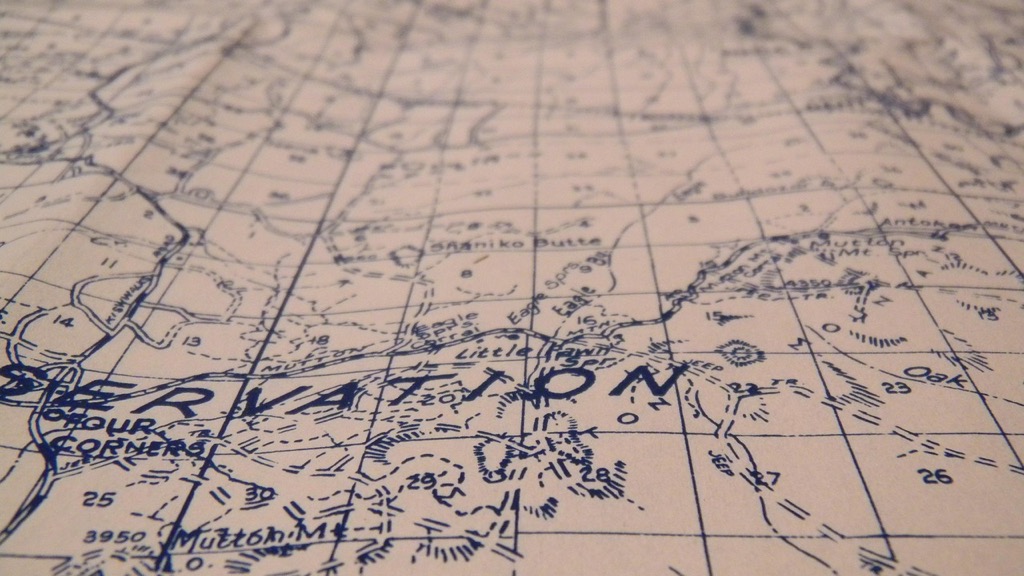
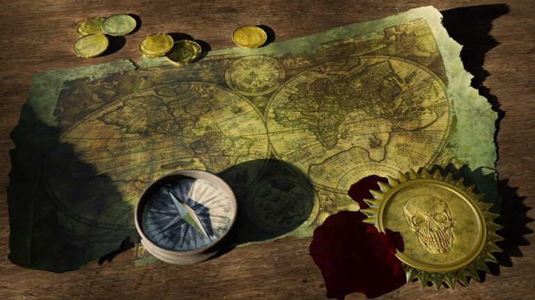
Cartographic illustration began with simple cave paintings and evolved into sophisticated hand-drawn masterpieces. Early mapmakers used natural pigments sepia ink and watercolors to create detailed representations of landscapes cities and trade routes. Medieval cartographers enhanced their maps with decorative elements like sea monsters compass roses and ornate borders while Renaissance artists introduced mathematical precision through grid systems and scale measurements. These traditional techniques required extensive manual skills including precise linework careful color application and meticulous attention to typography.
The Rise Of Digital Map Making
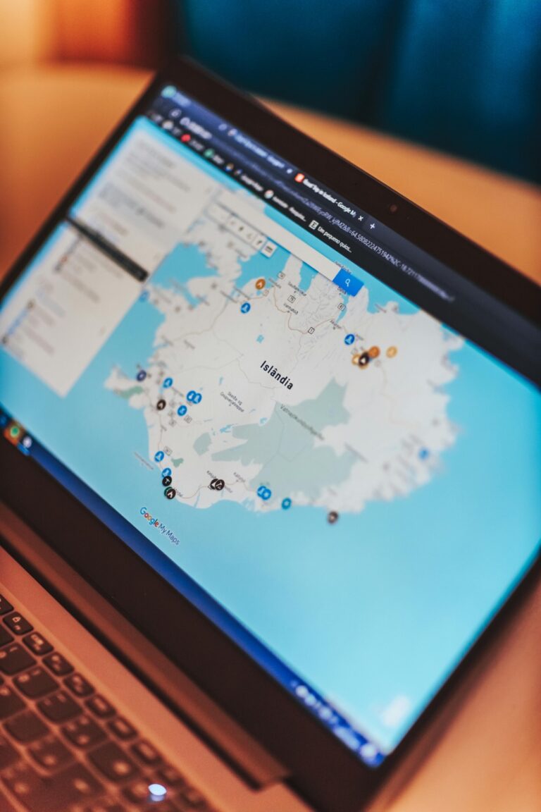
Digital mapping emerged in the 1960s with the development of Geographic Information Systems (GIS). Modern cartographers use specialized software like ArcGIS QGIS and Adobe Illustrator to create precise data-driven maps. These digital tools enable real-time updates automated calculations and layered visualization of complex geographical data. Digital techniques have revolutionized map creation through features like vector editing satellite imagery integration dynamic scaling and collaborative editing capabilities. Cloud-based mapping platforms now allow instant distribution global accessibility and interactive user experiences that were impossible with traditional methods.
Essential Tools And Materials For Map Creation
Creating detailed maps requires specific tools and materials that vary significantly between traditional and digital approaches.
Traditional Materials And Instruments
Traditional map illustration demands a precise set of manual tools and high-quality materials. You’ll need fine-point technical pens (0.1mm to 0.8mm) waterproof inks and archival-quality paper (preferably bristol board or vellum). Essential measuring tools include:
Create precise, archival-quality lines with this set of six black Pigma Micron pens. Featuring fade-resistant, waterproof ink in various sizes, these pens are ideal for drawing, journaling, and crafting.
- Drafting compass and dividers
- T-square and triangles
- Scale rulers and French curves
- Mechanical pencils (HB to 4H)
- Erasers (kneaded and vinyl)
Additional materials include tracing paper drafting tape and specialized map templates for common geographical features.
Digital Software And Hardware Requirements
Digital map creation requires both specialized software and capable hardware components. Essential software tools include:
- GIS programs (ArcGIS QGIS)
- Vector design software (Adobe Illustrator MapPublisher)
- Raster editing tools (Photoshop)
Hardware requirements:
- High-performance computer (16GB+ RAM)
- Graphics tablet with pressure sensitivity
- Large high-resolution monitor
- External storage for large datasets
Cloud-based tools like Mapbox and Carto offer additional functionality for web-based mapping projects.
Comparing The Technical Processes
Each approach to map illustration involves distinct workflows and methodologies that shape the final product.
Hand-Drawing And Painting Methods
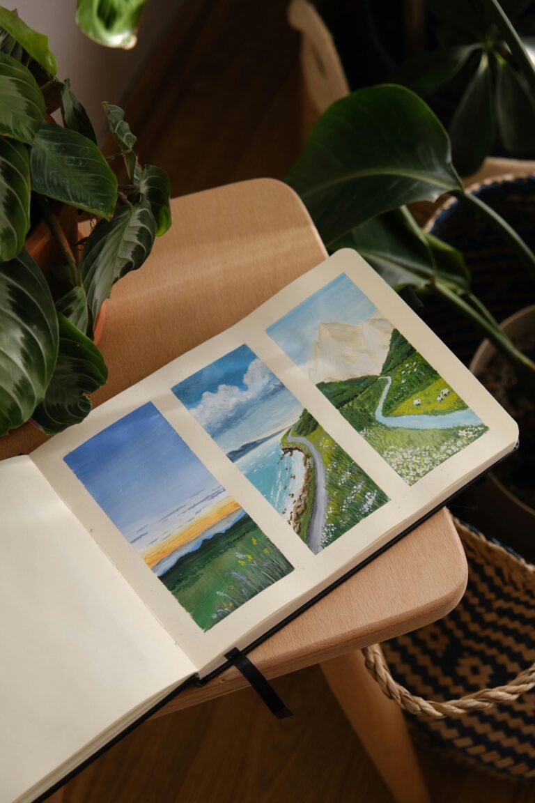
Traditional map illustration starts with careful pencil sketches on high-quality paper using measured grid systems. Artists apply ink with technical pens ranging from 0.1mm to 0.8mm to create precise linework for coastlines borders and typography. Watercolor or gouache paints add depth through controlled washes for terrain features oceans and land masses. This methodical process requires steady hand control multiple drafts and careful attention to scale relationships with specialized tools like parallel rulers and proportional dividers.
Create instant privacy anywhere with this no-drill room divider rod. Adjustable height and width fits various spaces, while the durable steel construction supports up to 45 lbs.
Digital Design Workflows
Digital map creation follows a layered approach in software like Adobe Illustrator or QGIS. Artists start by importing base data then build separate layers for different map elements including topography roads and labels. Vector tools enable precise path editing while effects and symbols add depth. The process involves working with georeferenced data applying style sheets managing multiple artboards and utilizing smart objects. Regular saving version control and non-destructive editing allow for efficient updates and variations.
Create lasting artwork with Ampersand Hardbord. This ultra-stable, warp-resistant panel provides a museum-quality surface for paints, gessoes, and mounting papers.
Hybrid Approaches
Modern map illustrators often combine traditional and digital techniques to leverage the benefits of both methods. Artists might sketch initial concepts by hand scan them as base layers then refine details digitally. Some use digital tools for precise geometric elements while adding hand-drawn textures and typography for character. This fusion allows for mathematical accuracy while maintaining artistic expression through techniques like digital brushes that mimic traditional media or hand-painted textures overlaid on vector frameworks.
Analyzing Time And Cost Factors
Comparing traditional and digital map illustration requires careful consideration of resource allocation and investment strategies.
Labor Hours And Skill Requirements
Digital mapping typically requires 40-60% less time than traditional methods for basic map creation. Traditional techniques demand 3-5 years of dedicated practice to master manual skills like steady line work fine shading and color application. Digital tools feature steeper initial learning curves requiring 6-12 months to gain proficiency but offer faster execution through features like automated tools layers and undoable actions. While traditional methods need continuous hands-on practice digital skills mainly require periodic software updates and feature learning.
Equipment And Material Expenses
Traditional mapping involves recurring costs for high-quality materials:
- Technical pens ($50-150/set)
- Archival paper ($30-50/sheet)
- Professional grade colors ($100-200/set)
- Drawing tools ($200-300 initial investment)
Digital setup requires higher upfront investment:
- Professional software ($300-600/year)
- Computer/tablet ($1500-2500)
- Graphics tablet ($200-600)
- Monitor calibration tools ($150-300)
Long-Term Investment Considerations
Digital methods offer better long-term value through reusable assets templates and efficient updates. Projects can be modified scaled or repurposed without additional material costs. Traditional maps require complete redrawing for major changes increasing long-term expenses. Digital storage helps preserve work while traditional maps need physical storage and preservation methods costing $100-200 annually. Cloud backup services ($10-50/month) provide secure digital archiving and version control capabilities.
Evaluating Artistic Expression And Style
When comparing traditional and digital map illustration techniques, artistic expression emerges as a critical factor in determining the final aesthetic impact and visual appeal of cartographic works.
Traditional Aesthetic Qualities
Traditional map illustration offers unique tactile qualities through hand-drawn textures watercolor washes and ink variations. The natural imperfections in traditional techniques create character through subtle line weight variations organic color blending and personal artistic touches. Hand-drawn maps showcase the artist’s individual style through distinctive flourishes decorative elements and custom lettering that digital tools can’t fully replicate. The weathered authentic feel of traditional materials adds depth and personality making each map a unique artistic piece.
Digital Design Possibilities
Digital tools expand creative horizons through unlimited color palettes layer manipulation and precision editing features. Software like Adobe Illustrator enables artists to experiment with complex patterns automated effects and precise typography while maintaining consistency. Digital techniques allow for rapid style adjustments sophisticated data visualization and seamless integration of various graphic elements. The ability to create reusable assets custom brushes and dynamic symbols opens new possibilities for artistic expression while maintaining technical accuracy.
Creative Limitations And Freedom
Traditional methods limit revision flexibility but offer unrestricted artistic movement and intuitive expression through direct hand-to-paper contact. Digital platforms provide extensive undo capabilities filters and transformation tools yet can feel less organic in their execution. While traditional techniques require committed decision-making digital methods allow infinite experimentation without material waste. Each approach presents distinct creative boundaries: traditional methods excel in spontaneous artistic flow while digital tools offer unprecedented control over minute details and systematic design elements.
Assessing Accuracy And Precision
When comparing traditional and digital mapping techniques, accuracy and precision play crucial roles in determining the final quality of cartographic work.
Manual Measurement Techniques
Traditional map measurements rely on physical tools like scale rulers triangles and protractors. Cartographers use mechanical drafting tools to measure distances angles and areas with accuracies typically reaching ±0.5mm at best. Key manual instruments include:
- Vernier calipers for precise linear measurements
- Planimeters for area calculations
- Engineering scales for distance conversions
- Coordinate plotters for point positioning
These tools require careful calibration regular maintenance and steady hands to maintain consistency.
Digital Precision Tools
Digital mapping systems offer measurement precision down to sub-millimeter levels through advanced tools. Modern GIS software provides:
- Snap-to-grid functionality accurate to 0.01mm
- Automated distance calculations
- Real-time coordinate tracking
- Precision scaling tools
Programs like ArcGIS Pro QGIS and AutoCAD Map 3D integrate GPS data satellite imagery and vector tools to ensure measurement accuracy across different map scales and projections.
Error Correction Capabilities
Digital platforms excel in error detection and correction with features like:
- Automated topology checking
- Version control tracking
- Bulk editing tools
- Real-time validation systems
While traditional methods require complete redrawing to fix major errors digital tools enable non-destructive editing. You can correct mistakes instantly using undo functions layer adjustments and automated error-checking algorithms that identify inconsistencies in scale distance and alignment.
Examining Reproduction And Distribution
Map reproduction and distribution methods significantly impact accessibility scalability and long-term preservation.
Traditional Printing Methods
Traditional map reproduction relies on specialized printing techniques like lithography offset printing and screen printing. Each method requires careful color separation manual registration and specific paper selection for optimal results. Professional print shops typically use CMYK process printing with spot colors achieving resolutions up to 2400 DPI. Traditional methods excel in producing detailed art prints limited editions and custom pieces but require significant setup time and cost per copy.
Digital Publishing Options
Digital distribution offers multiple formats including PDF vector files web maps and interactive applications. Modern platforms like MapBox ArcGIS Online and QGIS Server enable real-time updates collaborative editing and cross-platform compatibility. Cloud-based solutions support scalable distribution with features like version control automated backups and API integration. Digital maps reach wider audiences through responsive design and mobile optimization while maintaining data integrity.
Storage And Archival Considerations
Traditional maps require climate-controlled storage environments with 45-55% humidity and temperatures between 65-70°F to prevent deterioration. Digital archives demand robust backup systems including:
- Local redundant storage (RAID systems)
- Cloud backup services with 256-bit encryption
- Regular format migration to prevent obsolescence
- Metadata documentation for future reference
Digital preservation offers better security through distributed storage but needs consistent maintenance and format updates to ensure long-term accessibility.
Exploring Professional Applications
Both traditional and digital map illustration techniques maintain distinct roles across various professional sectors with unique market demands and applications.
Traditional Map Markets
High-end art galleries value hand-drawn maps for their artistic merit creating a niche market for traditional cartographers. Museums actively seek vintage-style maps that capture historical accuracy through traditional techniques. Custom map illustrators serve luxury real estate developers hotels and private collectors who demand unique hand-crafted pieces. The wedding industry particularly embraces traditional map styles for venue illustrations invitation designs and seating charts requiring personalized artistic touches.
Digital Mapping Opportunities
Digital mapping dominates the commercial sector with widespread applications in mobile navigation apps real estate platforms and urban planning. Tech companies rely on digital cartographers for creating interactive maps location-based services and augmented reality applications. Environmental consulting firms leverage digital mapping for impact assessments resource management and climate change studies. The gaming industry actively seeks digital map designers for creating immersive virtual worlds and gaming environments.
Industry Demand And Preferences
Corporate clients typically prefer digital maps for their scalability ease of updates and integration capabilities with existing systems. According to recent industry surveys 75% of mapping projects now require digital delivery formats. However traditional illustration techniques maintain steady demand in specialized markets like historical preservation tourism and luxury real estate where artistic value outweighs technical precision. Small businesses often choose hybrid approaches combining digital accuracy with traditional artistic elements to create unique branded maps.
Making The Choice: Traditional Vs Digital
Selecting between traditional and digital mapping requires careful evaluation of multiple factors specific to your project goals capabilities and intended outcomes.
Project-Specific Considerations
Start by assessing your project’s core requirements. Consider the map’s purpose scale detail level and update frequency. Digital techniques excel for projects requiring frequent updates precise measurements or interactive features. Choose traditional methods when artistic expression unique textures or one-of-a-kind pieces are priorities. Small-scale decorative maps often benefit from traditional approaches while large-scale technical maps typically demand digital precision.
Client Requirements And Expectations
Align your technique choice with client needs and market demands. Digital methods suit clients needing multiple formats quick revisions or data integration capabilities with 85% of commercial projects now requiring digital deliverables. Traditional approaches appeal to clients seeking artistic distinction custom aesthetics or historical authenticity. Consider budget constraints timeline requirements and delivery format preferences when making your selection.
Future-Proofing Your Skills
Develop proficiency in both traditional and digital techniques to stay competitive. Master foundational traditional skills like hand sketching and color theory while building expertise in digital tools like QGIS Adobe Illustrator and ArcGIS. Focus on transferable skills that apply across both domains including typography composition and data visualization. Stay current with emerging technologies while maintaining traditional craftsmanship to maximize your professional versatility.
The Future Of Map Illustration Techniques
Both traditional and digital map illustration techniques continue to shape the future of cartography. While digital tools dominate commercial applications with their precision and efficiency you’ll find traditional methods maintaining their place in artistic and specialized markets.
The key to success lies in understanding when to leverage each approach. Digital techniques excel in data-driven projects requiring frequent updates while traditional methods shine in creating unique artistic pieces that capture imagination and storytelling.
You’ll likely see more hybrid approaches emerging as technology advances allowing artists to blend the authenticity of hand-drawn elements with digital precision. Whether you choose traditional digital or combined techniques your decision should align with your project goals audience needs and desired outcome.
