10 Best Augmented Reality Tools for Interactive Maps That Enhance Engagement
Augmented reality is transforming how you interact with maps, turning static images into dynamic experiences. With the right tools, you can overlay digital information on the real world, making navigation and exploration more engaging than ever. Discover the best augmented reality tools that elevate your mapping experience and bring your surroundings to life.
Disclosure: As an Amazon Associate, this site earns from qualifying purchases. Thank you!
Technical Context
AR tools use geographic information systems (GIS) to overlay digital content onto the physical world, allowing users to interact with maps in novel ways. By utilizing AR, you can transform standard maps into interactive platforms that offer real-time data insights and engaging user experiences.
Key Methods and Tools
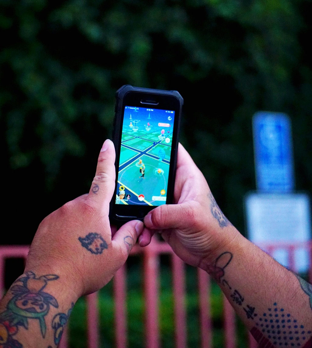
- ARKit & ARCore: These platforms enable you to create mobile AR applications, supporting iOS and Android respectively. They allow you to anchor digital content in the real world, facilitating explorations of virtual landmarks in real-time.
- Mapbox: This tool combines powerful mapping capabilities with AR functionality. You can create custom maps enriched with 3D elements, improving both navigation and user interactivity.
- Layar: Layar enables you to integrate digital information layers into the physical world using mobile devices. It’s particularly useful for enhancing tourism maps with additional contextual data like historical markers.
Common Technical Issues
You may encounter challenges such as:
- Device Compatibility: Ensure that your AR solution works on the intended platforms, as not all features are supported on every device.
- Data Accuracy: Verify that the geographic data you use is up-to-date and reliable to maintain trust with your users.
Data Visualization Options
Utilizing AR opens up unique data visualization techniques. Consider:
- 3D Models: Use 3D representations to depict terrain or building structures clearly.
- User-generated content: Allow users to contribute data, enriching the map with local insights and experiences.
Workflow Frameworks
- Planning Stage: Establish the objective of your AR map and the necessary data layers.
- Design Stage: Develop a prototype focusing on user navigation and data access.
- Testing Stage: Conduct user testing to gather feedback and refine interactions.
- Conduct Regular Updates: Refresh your data periodically to ensure relevance and accuracy.
- User Feedback: Implement mechanisms for users to report inaccuracies, strengthening your maps’ reliability.
By integrating these AR tools and methodologies, you can craft interactive maps that captivate users and enhance their understanding of spatial data in a meaningful way.
Top Features to Look For in Augmented Reality Tools
When selecting augmented reality tools for interactive maps, you need to consider several key features that enhance usability and effectiveness. Here are the main ones to look for:
User-Friendly Interface
You want an interface that’s intuitive and easy to navigate. A user-friendly design minimizes the learning curve, making it accessible even for those with limited technical experience. Tools like Geospatial Creator by Google provide a straightforward approach, especially valuable if you’re already familiar with Google’s ecosystem. The ease of incorporating and visualizing 3D content in real-world locations streamlines your workflow.
Seamless GPS Integration
You need tools that offer seamless GPS integration for dynamic, location-based experiences. Effective GPS integration allows you to create rich, immersive AR maps that react to the user’s position in real-time. With a tool like Geospatial Creator, you can utilize robust location data to enhance user engagement, ensuring the AR content aligns perfectly with the physical environment around them.
Customizability and Scalability
You should prioritize customizability and scalability in your AR tools. The ability to tailor maps to suit specific needs or themes is crucial. Geospatial Creator, for instance, allows you to access the same 3D map sources as Google Earth, enabling the development of unique mobile immersive experiences. This flexibility is essential in catering to diverse user requirements and adapting as projects scale.
Advantages of Using Augmented Reality in Mapping
Augmented reality (AR) significantly enhances how you interact with maps, making navigation and exploration more intuitive and engaging. Here are key advantages of integrating AR into your mapping practices.
Enhanced User Engagement
AR tools create an immersive experience that captivates users. With applications like ARCity and Google Maps, you can overlay virtual markers on your surroundings, simplifying navigation. This interactive approach makes learning about your environment fun and intuitive, ultimately leading to better user satisfaction.
Improved Navigation Experience
AR navigation significantly increases accuracy, especially in densely populated areas or complex spaces like museums. Tools such as Layar provide precise, step-by-step directions superimposed onto real-world views. By pinpointing your exact location, these systems minimize disorientation, ensuring you reach your destination efficiently.
Real-Time Information Updates
AR technology allows for real-time data integration, offering current information about landmarks, events, or traffic conditions. Tools like Google ARCore enable instant overlays of changing data, so you can view live updates as you move through your environment. This dynamic capability not only enhances decision-making but also improves overall navigation experiences.
Use Cases of Augmented Reality Tools for Interactive Maps
Augmented reality (AR) tools revolutionize how you interact with maps, offering enhanced engagement and utility across various fields. Here are the primary use cases where AR significantly impacts mapping experiences.
Tourism and Travel
AR tools enhance your travel adventures by providing interactive AR-guided city tours. With these tools, you can explore cities at your own pace, receiving tailored narratives and information about landmarks. For example, visiting Chengdu allows you to view historical stories alongside digital overlays, such as flying whales that enhance the physical environment. These experiences transform mundane sightseeing into immersive storytelling.
Real Estate Development
AR applications in real estate development enable you to visualize properties like never before. By using 3D modeling tools, you can create realistic simulations of buildings and landscapes before construction begins. Tools such as SketchUp and Unreal Engine allow you to overlay your designs onto real-world environments, enabling stakeholders to grasp the project’s impact. This visualization aids in securing investment and marketing properties effectively, minimizing surprises during development.
Education and Learning
In education, AR tools help you teach complex subjects through interactive experiences. For instance, platforms like Google Expeditions allow students to explore historical sites or biological processes visually. You can overlay additional information or simulations directly onto physical objects in the classroom, enhancing comprehension. This engagement fosters a deeper understanding of topics, making learning not only informative but also enjoyable.
By leveraging AR tools, you can elevate your mapping projects across tourism, real estate, and education, transforming the way you engage with spatial data.
Conclusion
Embracing augmented reality tools for interactive maps can revolutionize your mapping projects. These tools not only enhance user engagement but also provide immersive experiences that deepen your understanding of spatial data. By leveraging the right AR technologies, you can create dynamic and informative maps that captivate your audience.
Whether you’re in tourism, real estate, or education, the integration of AR can elevate your projects to new heights. As you explore these innovative solutions, remember to prioritize user-friendly interfaces and seamless integration for the best results. The future of mapping is here, and with AR, you have the power to transform how people interact with their surroundings.