10 Best Field Mapping Equipment for Data Collection to Unlock Spatial Data
When it comes to field mapping, having the right equipment can make or break your data collection efforts. From GPS devices to drones and GIS software, the options can be overwhelming. Choosing the best tools ensures accurate data and efficient workflows, setting you up for success in any project.
Disclosure: As an Amazon Associate, this site earns from qualifying purchases. Thank you!
Criteria for Selecting Best Field Mapping Equipment
When selecting the best field mapping equipment, you must consider several key criteria that will influence your data collection effectiveness and project success.
Evaluating Accuracy and Precision
Accuracy and precision are paramount in field mapping. Look for equipment that boasts high-resolution GPS capabilities, ideally achieving sub-meter accuracy. For example, devices like the Trimble R10 or the Leica GS18 can provide precise location data crucial for mapping efforts. Additionally, consider how these tools integrate with GIS software to enhance data reliability, ensuring that the information collected is both accurate and relevant for your mapping objectives.
Master ArcGIS Pro 3.2 with this comprehensive guide. Learn essential GIS workflows and data management techniques for effective spatial analysis.
Considering User-Friendliness
User-friendliness significantly impacts your team’s efficiency in the field. Opt for equipment that features intuitive interfaces and straightforward operating procedures. Tools such as the Garmin GPSMAP series or mobile GIS applications like ArcGIS Collector exemplify user-centric designs that streamline data entry and navigation. This ease of use helps reduce training time, allowing your crew to focus on data collection rather than equipment operation, thus enhancing productivity.
Improve disaster response with GIS. This book provides practical guidance on using GIS tools and techniques for effective planning, mitigation, and recovery efforts.
Assessing Durability and Weather Resistance
Durability and weather resistance are essential for field equipment that encounters harsh conditions. Select gear built to withstand varying environmental factors, such as rain, dust, and extreme temperatures. For instance, the COMNav K5 GPS system meets military standards for ruggedness and is designed for outdoor use across diverse terrains. Ensuring your equipment can endure the elements protects your investment and guarantees reliable data collection under all circumstances.
Top 5 Best Field Mapping Equipment for Data Collection
Choosing the right tools is essential for efficient field data collection. Here are the top five field mapping equipment options tailored for your needs:
1. GPS Data Loggers
GPS data loggers facilitate precise spatial data collection. Devices like the Trimble GeoExplorer 7 and Juno 5 offer high accuracy, with post-processed DGNSS accuracy ranging from 1-100cm. They’re rugged, lightweight, and designed for mobile data collection, making them perfect for asset management and outdoor applications.
Power your Trimble GeoExplorer with this 15V adapter. It offers worldwide voltage compatibility and built-in surge protection for safe, reliable charging.
2. Handheld GPS Devices
Navigate confidently with this GPS device featuring a bright 5" touchscreen and detailed North American maps. Stay informed with alerts for speed changes, school zones, and sharp curves, plus Tripadvisor ratings for points of interest.
Handheld GPS devices deliver professional-grade positioning in a compact form. Trimble R1 and R2 GNSS receivers are ideal examples, providing real-time data with impressive durability. These receivers support various applications, from survey work to environmental monitoring, ensuring you’ve got reliable positioning wherever you go.
3. GIS Tablets
GIS tablets enhance data collection capabilities on the go. Devices like the Panasonic Toughpad FZ-G1 run field-friendly GIS software, enabling you to collect, edit, and analyze data in real-time. These tablets are rugged, equipped with touchscreen displays, and provide easy access to GIS applications, making them invaluable in the field.
This rugged tablet withstands harsh conditions with its MIL-STD-810G certification and IP65-rated design. Enjoy fast performance thanks to the Intel Core i5 processor and a bright, daylight-readable touchscreen.
4. Drones for Aerial Mapping
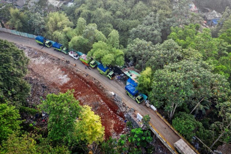
Drones revolutionize data collection by offering aerial perspectives. Models like the DJI Phantom 4 RTK allow for high-resolution mapping and survey-grade accuracy. Drones capture images and gather LiDAR data efficiently, facilitating comprehensive mapping for large areas while saving time and resources.
5. Total Stations and Theodolites
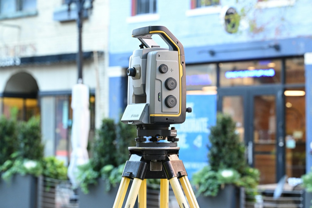
Total stations and theodolites are essential for high-precision measurements. Instruments like the Leica TS16 and Topcon GPT-3000 provide advanced surveying capabilities, blending electronic distance measurement with angle observation. They’re ideal for construction and engineering projects, ensuring accurate data for design and planning phases.
Protect your screen with AirGlass, a thin and light protector that maintains touchscreen sensitivity. Enjoy a clear, sharp view of your screen's content.
Utilizing these tools effectively can significantly enhance your mapping projects and overall data collection processes.
Additional Accessories for Field Mapping
Enhancing your field mapping experience involves utilizing accessories that improve functionality and efficiency. Consider integrating these essential tools for optimal data collection.
Power Sources and Chargers
Power sources are crucial for keeping your data collectors running in the field. You won’t want to run out of battery during critical data gathering. Look for portable solar chargers like the Goal Zero Nomad 20 that provide sustainable energy. Additionally, consider extra battery packs such as the Anker PowerCore 26800, which can charge multiple devices on the go, ensuring your equipment stays powered throughout the day.
Protective Cases and Mounts
Protective cases safeguard your devices from harsh environmental conditions. Investing in rugged cases, like the Pelican 1170 Case, will keep your field equipment safe from drops and moisture. For added stability during data collection, utilize mounting systems such as the RAM Mounts Universal Tablet Mount, which allow for secure positioning of your devices, ensuring they remain accessible and manageable while you focus on mapping tasks.
Future Trends in Field Mapping Equipment
As you look to enhance your field mapping capabilities, staying updated on emerging trends can give you an edge. Here are some pivotal shifts shaping the industry.
Integration of AI and Machine Learning
AI and machine learning are revolutionizing data analysis in field mapping. These technologies intelligently process and interpret vast datasets, enabling you to extract valuable insights more efficiently. For instance, tools like Esri’s ArcGIS Pro integrate machine learning algorithms, allowing for enhanced predictive analysis in geographic trends. By automating tasks such as identifying patterns or predicting land use, you can save time and increase accuracy.
Advancements in Sensor Technology
Sensor technology is rapidly evolving, providing more precise data collection and analysis capabilities. The new generation of GPS units, like the Trimble R10, showcase advancements in multi-frequency GNSS technology, enabling better performance in challenging environments. Additionally, LiDAR sensors are now more accessible and affordable, allowing for detailed topographical mapping without extensive fieldwork. These advancements help you achieve higher resolution data while minimizing labor costs and time spent in the field.
Conclusion
Selecting the right field mapping equipment is crucial for successful data collection. By investing in high-quality tools like GPS devices drones and GIS tablets you can enhance accuracy and streamline your workflow. Remember to consider factors such as durability user-friendliness and precision when making your choice.
Don’t overlook the importance of accessories that can boost your efficiency in the field. As technology continues to evolve stay informed about the latest trends and innovations to keep your mapping projects ahead of the curve. With the right equipment and knowledge you’ll be well-equipped to tackle any data collection challenge that comes your way.


